What is recorded here
Scotland's National Record of the Historic Environment records Glasgow, Balmore Road, Lambhill Cemetery as Cemetery (19th Century). The official map says its point is accurate as follows: NGR given to the nearest 1m. The record does not by itself mean that the public may enter the place.
The historic-place record does not grant public access. Check current conditions and ownership before entering land or a building.
Places near here
 War MemorialMemorial · 221 yd
 St Kentigern's CemeteryChurch, cross or graveyard · 261 yd
 Glasgow, Tresta Road, Western Necropolis, Jewish Prayer HouseOhel (19th Century) · 442 yd
 Glasgow Corporation Waterworks, Lambhill, Watchmen's CottageCottage (early 20th Century), Mission Hall (late 19th Century) - (early 20th Century), Water Supply Site (early 20th Century), Waterworks (early 20th Century) · 544 yd
 Lambhill BridgeHeritage place · 557 yd
.jpg?width=1280) Glasgow, Forth and Clyde Canal, Balmore Road, Lambhill BridgeLift Bridge (20th Century), Wharf (19th Century) · 563 yd
Glasgow, Forth and Clyde Canal, Balmore Road, Lambhill BridgeLift Bridge (20th Century), Wharf (19th Century) · 563 yd Tower in the Mackintosh-designed courtyard, Queen Margaret CollegeCastle, fort or tower · 1.5 mi
 Cairnhill WoodsVisitor information · 1.9 mi
 Hunterian Art GalleryGallery · 1.9 mi
 The Mackintosh HouseMuseum · 1.9 mi
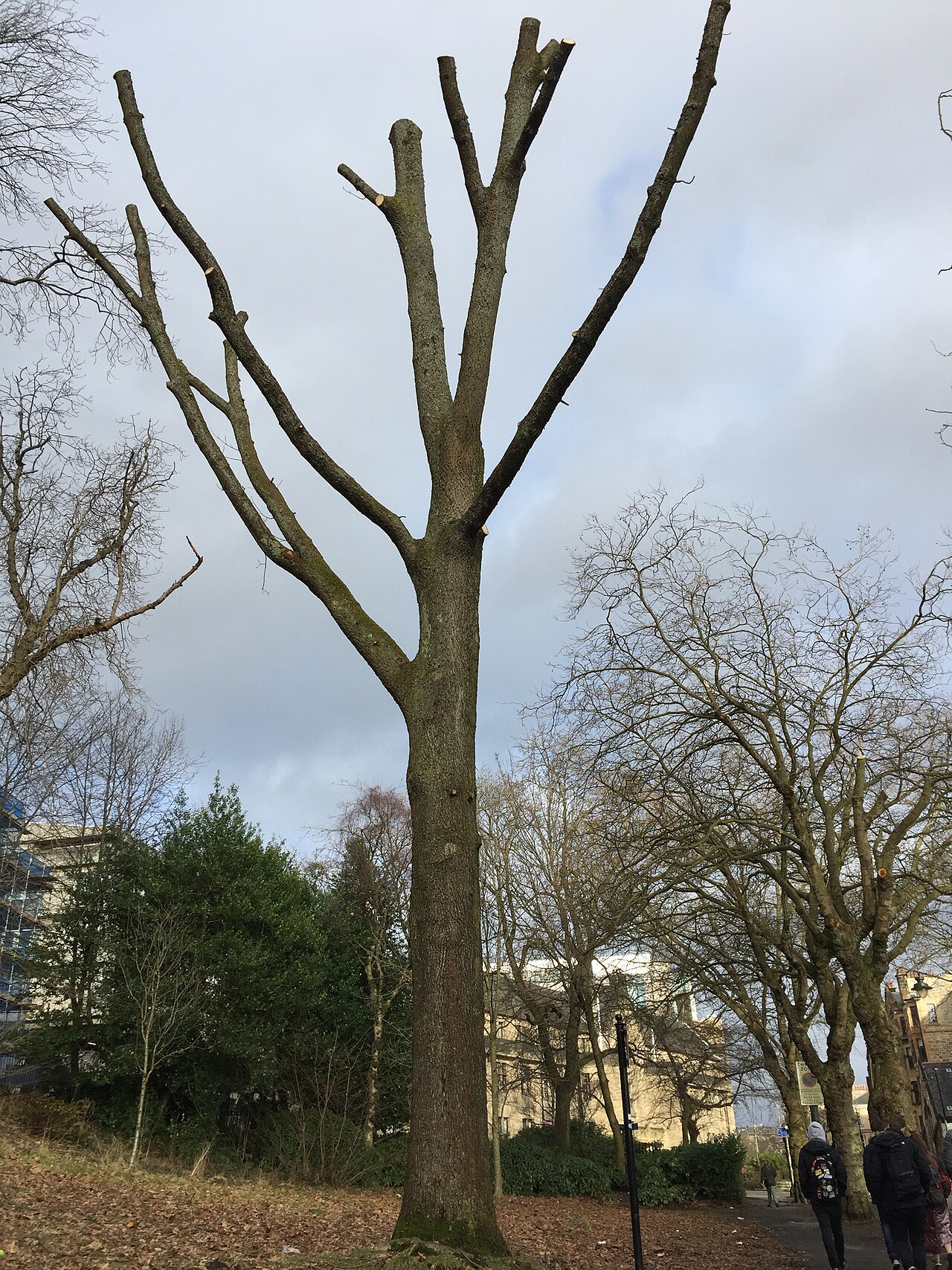 Suffrage OakHungarian Oak · 2.0 mi
 Tower of Glasgow University Old BuildingCastle, fort or tower · 2.0 mi