
What is recorded here
Scotland's National Record of the Historic Environment records Girron as Cairnfield (period Unassigned), Cultivation Terrace(s) (period Unassigned), Enclosure (period Unassigned), Shieling Hut (post Medieval), Township (period Unassigned)(possible). The official map says its point is accurate as follows: NGR given to the nearest 10m. The record does not by itself mean that the public may enter the place.
The historic-place record does not grant public access. Check current conditions and ownership before entering land or a building.
Places near here
 Amulree HotelHotel (period Unassigned) · 1274 yd
.jpg?width=1280) Amulree Church of Scotland and ChurchyardBurial Ground (18th Century), Church (18th Century) (1752), Churchyard (18th Century) · 1278 yd
Amulree Church of Scotland and ChurchyardBurial Ground (18th Century), Church (18th Century) (1752), Churchyard (18th Century) · 1278 yd Amulree, River Braan, BridgeRoad Bridge (18th Century) · 1356 yd
 AmulreeHut Circle (prehistoric)(possible) · 1687 yd
 Craig HulichMountain / peak · 1.5 mi
 Meall nan CaorachMountain / peak · 1.8 mi
 Griffin Wind FarmNo Class (event) (period Unassigned) · 4.7 mi
 Buchanty SpoutWaterfall · 4.8 mi
 Glenalmond College LibraryMemorial · 6.1 mi
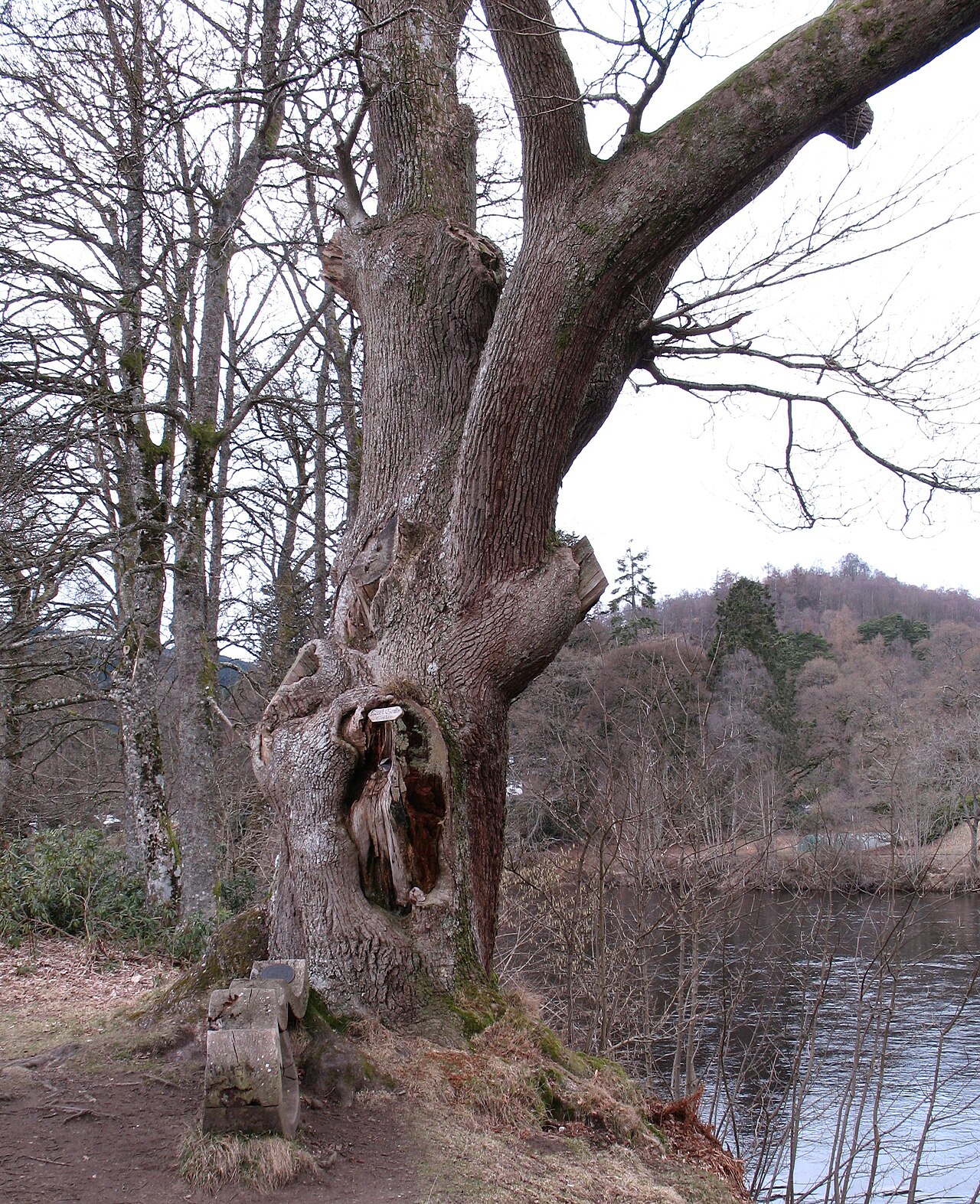 Niel Gow's OakOak · 7.8 mi
 Polney CragCliff · 7.9 mi
 Parent LarchEuropean Larch · 8.3 mi
Other information
Photo: Russel Wills · CC BY-SA 2.0