
What is recorded here
Located at the bottom of a slight S and E-facing slope at Carnsore Point, and marked on the 1839 and 1940 eds of the OS 6-inch map where it is described in gothic lettering as a Giant's Grave and a Dolmen respectively. The earliest reference is from the Dublin Magazine, of August 1764 where it is described as 23ft in length (L c. 7m), and Beranger the artist sketched it in 1780 (Wilde 1876-8, 129), although this has never been published. The area was excavated (E000142) in 1975 when a trench (dims 20m x 5m) produced no evidence of the structure and it can be concluded that erosion by the sea has removed all trace of it (Cahill and Lynch 1976 7, 59).
The above description is derived from the published 'Archaeological Inventory of County Wexford' (Dublin: Stationery Office, 1996). In certain instances the entries have been revised and updated in the light of recent research.
Compiled by: Michael Moore
Date of upload/revision: 27 March, 2014
The monument record does not grant public access. Check the route and ask the landowner before entering private land.
- What survives
- Recorded monument
Places near here
 St. Vauk's StoneArchaeological place · 189 yd
 Hole of the ForlornBeach / strand · 212 yd
 World War Two Aircraft Warning StationRuins · 271 yd
 Enclosure in St. Vogue'sEnclosure · 347 yd
 St, Vogues Chapel in ruinsChurch · 407 yd
 The Caravan RockNamed rock · 1079 yd
 The CaamstoneNamed rock · 1279 yd
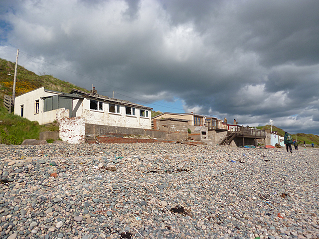 Nethertown BeachBeach / strand · 1427 yd
 CastleCastle, tower house · 1653 yd
 The Chour / The Hill of the ChourMountain / peak · 1.2 mi
 Site of CastleCastle, unclassified · 1.7 mi
 Lifeboat MemorialMemorial · 1.7 mi
Other information
Photo: Credit not shown in the picture search · Rights wording not checked; contact us if this picture should be removed