What is recorded here
Croaghan Hill watches the vanished grave, but Fagan measured seven flat stones and a separate slab in 1846. They lay beside the road from Ballindrait like a broken bed for some forgotten giant. Whether they marked a buried king or merely piled river stones, the pasture has taken back their shape.
This was first shown on the original OS 6-inch map (1834-5), where it is named 'Giant's Grave', and it was also so named on the revision at that scale of 1845-7. It stood close to the S side of the road running SW from Ballindrait, on gently rolling pasture, 600m S of the Deele River. The site is overlooked from the S by Croaghan Hill, 1.5km distant.
The relevant Name Book and the Memoir of the original OS 6-inch survey refer, respectively, to 'a few stones having the appearance of antiquity' called 'the Giant's Bed' and to 'some large stones, called a Giant's Grave'. Thomas Fagan (1845-8) visited the site in 1846 and described it as 'the ruins of a giant's grave' lying almost E-W, measuring 151/2 feet (c. 4.7m) long and 3 feet to 7 feet (c. 0.9m-2.15m) wide and enclosed by 'great flat stones' 2 feet to 41/2 feet (c. 0.6-1.4m) high, seven of which were then in place. These were 41/2 feet to 8 feet (c. 1.4-2.4m) long and 1 foot to 3 feet (c. 0.3-0.9m) thick. Approximately 51/2 feet (c. 1.7m) to the W was a large slab 6 feet (c. 1.8m) long, 51/2 feet (c. 1.7m) broad and c. 2 feet (c. 0.6m) thick.
No trace remained of this feature in 1904 according to an OS 1:2,500 Name Book of that year. On a visit here in the early 1950s Ruaidhrí de Valera and Seán Ó Nualláin noted low stones in the roadside hedge adjacent to the original position of the monument, but it was unclear whether these ever formed part of an ancient structure. In 1984 a large stone of uncertain origin was noted in the hedge here.
Fagan's account suggests that there may have been a megalithic tomb here, but the evidence does not warrant its acceptance as a definite one.
OS Name Book, Clonleigh parish (1834-5), book 1, 15; OS Memoirs, Clonleigh parish (1835), 23; Fagan 1845-8, book 10, 33; OS 1:2,500 Name Book, sheet 70 (1905), 58; Ó Nualláin 1983a, 44-5, no. 124; SMR 1987, 70:46; Ó Nualláin 1989, 142; RMP 1995, 70:46.
The above description was published in the 'Survey of the Megalithic Tombs of Ireland. Volume VI, County Donegal.' Compiled by: Eamon Cody (Dublin: Stationery Office, 2002).
Date of upload: 22 September 2008
The monument record does not grant public access. Check the route and ask the landowner before entering private land.
- What survives
- Recorded monument
Places near here
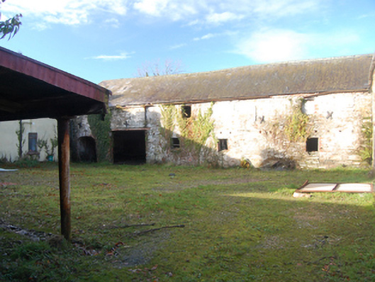 outbuildingoutbuilding · 670 yd
 water pumpwater pump · 736 yd
 Enclosure in Shannon LowerEnclosure · 1046 yd
 Croaghan HillMountain / peak · 1.0 mi
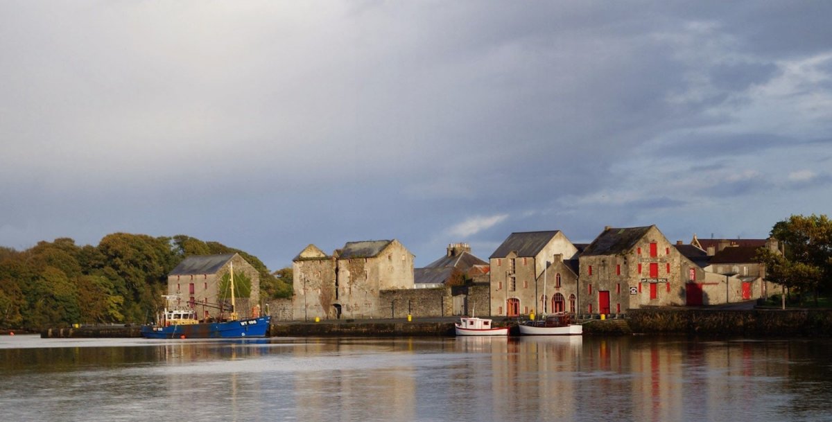 Hillfort in Croaghan (clonleigh South Ed),glensmoilHillfort · 1.1 mi
 BATTLE SITE: BATTLE OF THE FORDS, Central crossing, 1689 in Magirr; Town Parks OF StrabaneBATTLE SITE: BATTLE OF THE FORDS, Central crossing, 1689 · 2.2 mi
 Feddyglass WoodWood · 2.8 mi
 Second World War MemorialMemorial · 2.9 mi
 Abercorn FactoryHeritage attraction · 2.9 mi
 CASTLE in Town Parks OF StrabaneCASTLE · 2.9 mi
 Gray PrinterHeritage attraction · 2.9 mi
 1916 Easter Rising Memorial StoneMemorial · 3.0 mi