What is recorded here
On a shelf of rock at the N edge of a plateau with a cliff falling away immediately to the E. An oval cairn (dims 17m E-W; 12m N-S; max. H 2m) contains a single unsegmented roofless orthostatic chamber (dims 7m E-W; Wth 1.5m to 2.2m at W) with an entrance (Wth 0.75m) flanked by orthostats (H 0.9m) at W and traces of an oval court (dim. c. 8m E-W) at W. (de Valera and Ó Nualláin 1972, 54-5)
The above description is derived from 'The Archaeological Inventory of County Leitrim' compiled by Michael J. Moore (Dublin: Stationery Office, 2003). In certain instances the entries have been revised and updated in the light of recent research.
Date of upload: 23 September 2008
See linked document with details from Ruaidhrí de Valera and Seán Ó Nualláin, Survey of the Megalithic Tombs of Ireland. Volume III. Counties Galway, Roscommon, Leitrim, Longford, Westmeath, Laoighis, Offaly, Kildare, Cavan. (Dublin: Stationery Office, 1972).
Neolithic passage tomb, dating to approximately 3000–2500 BCE. Its location and construction suggest it was part of a broader ritual landscape associated with early farming communities in the region.
The monument record does not grant public access. Check the route and ask the landowner before entering private land.
- What survives
- Recorded monument
Places near here
 Giant's GraveArchaeological place · 71 yd
 IndicatedEnclosure · 1320 yd
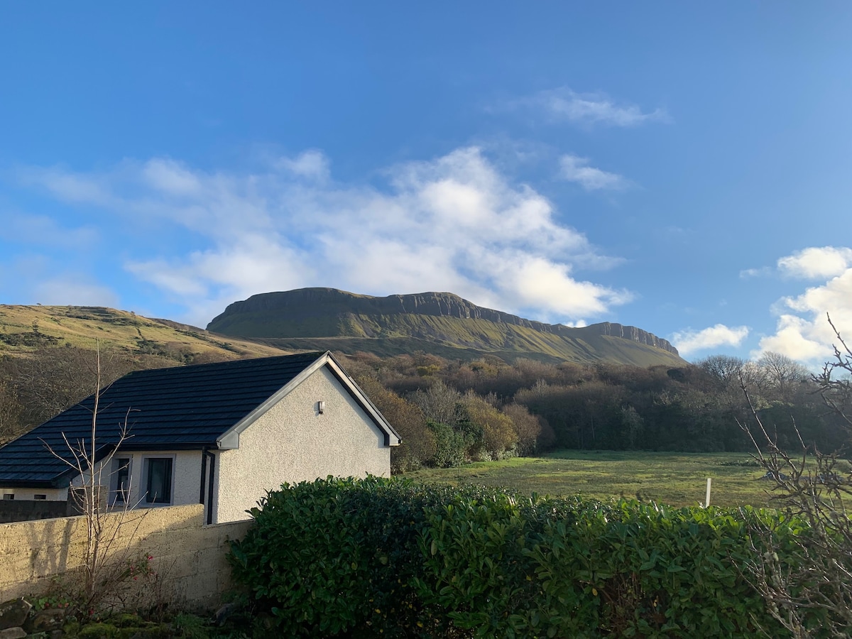 Sweathouse in DrunganSweathouse · 1537 yd
 Conwal NorthMountain / peak · 1.6 mi
 Fowley's FallsPicnic place · 1.8 mi
 Ross PointHeadland · 1.8 mi
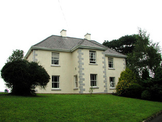 presbytery/parochial/curate's housepresbytery/parochial/curate's house · 2.2 mi
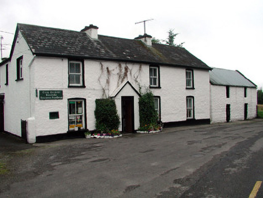 Rossinver Post Officehouse · 2.2 mi
 GorminishIslet · 2.3 mi
 Sally IslandIslet · 2.5 mi
 Agow TopMountain / peak · 2.8 mi
 Rosfriar PointHeadland · 4.2 mi