What is recorded here
Six metres of broken gallery stretch across Cavan pasture, their northern wall doubled as if the dead needed more room to listen. The gable-topped east stone still faces the sunrise like a door left ajar, while displaced giants roll in the grass beside it. Whatever name the builders spoke has drowned in centuries of rain, but the shape remains: a long chamber, a threshold, and a grave wide enough for several lives at once.
Situated on a level tract of pasture in rolling drumlin country. The monument is very ruined. It consists of seven orthostats and a number of large displaced stones. A line of three orthostats seem to represent the N side of a gallery, about 6m long, aligned W-E. Immediately to the N two orthostats may indicate a doubling of the gallery wall. An orthostat with a gable-shaped top stands at right angles to the E end of the presumed side of the gallery and might be a backstone. A stone parallel to this and 2m to the W may be a sill or segmenting stone. (de Valera and Ó Nualláin 1972, 124-5, No. 24)
The above description is derived from the published 'Archaeological Inventory of County Cavan' (Dublin: Stationery Office, 1995). In certain instances the entries have been revised and updated in the light of recent research.
Date of upload/revision: 22 December 2008
See linked document with details from Ruaidhrí de Valera and Seán Ó Nualláin, Survey of the Megalithic Tombs of Ireland. Volume III. Counties Galway, Roscommon, Leitrim, Longford, Westmeath, Laoighis, Offaly, Kildare, Cavan. (Dublin: Stationery Office, 1972).
A Neolithic portal dolmen; dates to the early to middle Neolithic period (c. 3500–2500 BCE). Its significance lies in its representation of megalithic funerary architecture, reflecting early communal burial practices and social organization in the region.
The monument record does not grant public access. Check the route and ask the landowner before entering private land.
- What survives
- Recorded monument
Places near here
 IndicatedFairy fort / earthen ringfort · 617 yd
 Giant's GraveArchaeological place · 921 yd
 Tullycoe FortArchaeological place · 1274 yd
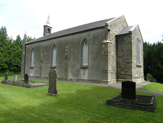 St Mark's Church of Ireland Churchchurch/chapel · 1.2 mi
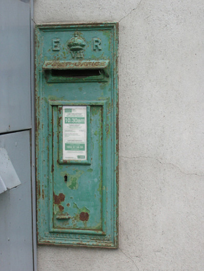 post boxpost box · 1.2 mi
 Foundation Stone Blessed by Pope John Paul II 1979Memorial · 1.2 mi
 Cormeen Glebe ForestForest · 1.5 mi
 Killymeehan ForestForest · 2.0 mi
 CarrickallenMountain / peak · 2.9 mi
 CliffernaMountain / peak · 3.5 mi
 Site of Old CastleCastle, unclassified · 3.7 mi
 Bawn in DrumsheilBawn · 4.3 mi