
What is recorded here
Not marked on any OS ed. Site is divided into two unequal portions by a field boundary running NE-SW. The larger portion SE of the boundary has been levelled. On the NW side of the boundary it survives as an earthen platform (dims. 42.3m NE-SW; 9m NW-SE). No indication of an external fosse. Original entrance not recognisable.
The above description is derived from the published 'Archaeological Inventory of County Cavan' (Dublin: Stationery Office, 1995). In certain instances the entries have been revised and updated in the light of recent research.
Date of upload/revision: 22 December 2008
A local fairy fort (ringfort/rath); wider significance not recorded.
The monument record does not grant public access. Check the route and ask the landowner before entering private land.
- What survives
- Recorded monument
Places near here
 Enclosure in KilnagarbetEnclosure · 1042 yd
 Tullycoe FortArchaeological place · 1282 yd
 Giant's GraveArchaeological place · 1520 yd
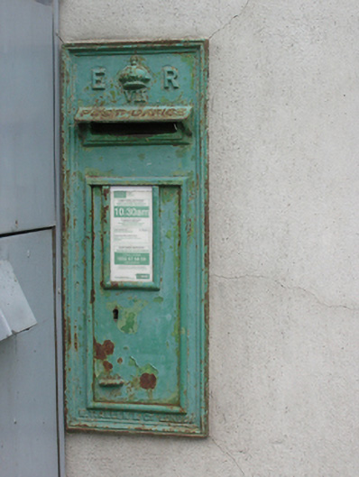 post boxpost box · 1.0 mi
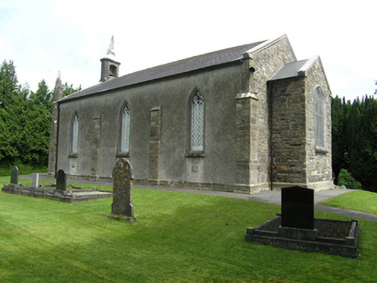 St Mark's Church of Ireland Churchchurch/chapel · 1.0 mi
 Foundation Stone Blessed by Pope John Paul II 1979Memorial · 1.1 mi
 Cormeen Glebe ForestForest · 1.7 mi
 Killymeehan ForestForest · 1.9 mi
 CarrickallenMountain / peak · 3.2 mi
 CliffernaMountain / peak · 3.6 mi
 Site of Old CastleCastle, unclassified · 3.9 mi
 Embanked enclosureBawn · 4.4 mi
Other information
Photo: Credit not shown in the picture search · Rights wording not checked; contact us if this picture should be removed