What is recorded here
On a flat tract of ground in rolling pasture. Two groups of orthostats stand 3.6m apart, four to the SW and three to the NE. Each group seems to represent a chamber. The four to the SW include two opposed orthostats (H 0.8m), 1.75m apart, standing at either side of a stone set transversely between them. This seems to be a sillstone (H 0.5m). Some 1.5m W of the more southerly of the two opposed stones there is another orthostat, apparently a sidestone. The chamber represented by the second group of orthostats seems to have been of polygonal outline. It measures 2.3m N-S and is represented by three orthostats, one at N, E and S. There are some prostrate and partly concealed stones at the site. Faint traces of mound adjoin the southern side of each chamber. (Ó Nualláin 1989, 57, no. 90)
The above description is derived from the published 'Archaeological Inventory of County Sligo' compiled by Ursula Egan, Elizabeth Byrne, Mary Sleeman with Sheila Ronan and Connie Murphy (Dublin Stationery Office, 2005).
Date of upload: 18 January 2008
See linked document with details from Seán Ó Nualláin, Survey of the Megalithic Tombs of Ireland. Volume V. County Sligo. (Dublin: Stationery Office, 1989)
Portal dolmen; likely dates to the Early to Middle Neolithic period. Its dual chamber-like structure suggests a complex funerary or ceremonial function, reflecting early megalithic traditions in the region.
The monument record does not grant public access. Check the route and ask the landowner before entering private land.
- What survives
- Recorded monument
Places near here
 Enclosure in Knockadoo (leyny By.)Enclosure · 751 yd
 IndicatedFairy fort / earthen ringfort · 856 yd
 Church (in Ruins)Church · 1.2 mi
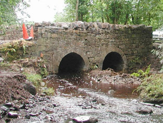 bridgebridge · 1.6 mi
 KnocknasheeMountain / peak · 2.4 mi
 CloonaghMountain / peak · 3.2 mi
 European ashEuropean ash · 3.3 mi
 CastleCastle, unclassified · 3.6 mi
 ElderElder · 3.9 mi
 Moymlough Castle (in Ruins)Castle, tower house · 3.9 mi
 RinnatalleenHeadland · 5.5 mi
 Ballinlig PointHeadland · 6.6 mi