What is recorded here
One chamber, one grave, many bodies. The hill gave up its dead in fragments during quarrying, and the grave disappeared with the rest. What remains is a name on a old map and a warning about how quickly memory loses its shape.
Named 'Giant's Grave' and marked on the 1921 edition of the OS 6-inch map as a very small circular mound (diam. c. 7m) which was located at the NE end of a steep gravel hill named 'Giant's Hill'. The hill has since been quarried out and no visible surface trace of the monument survives. It was described in 1953 (SMR file) as a ‘low mound surrounded by a ditch and having at or near centre a degenerate chamber or cist, partly exposed’. According to local information, large quantities of unburnt bone came to light during quarrying operations, as well as one ‘small cut headstone’. (de Valera and Ó Nualláin 1972, 27)
Compiled by: Galway Archaeological Survey, UCG
Date of upload: 12 August 2019
A Neolithic passage tomb, dating to approximately 3000–2500 BCE; its name and location suggest it was once part of a broader prehistoric landscape associated with early farming communities in the region.
The monument record does not grant public access. Check the route and ask the landowner before entering private land.
- What survives
- Recorded monument
Places near here
 Enclosure in Grannagh (loughrea By.)Enclosure · 903 yd
 IndicatedEnclosure · 963 yd
 Rahaly Castle (in ruins)Castle, tower house · 1064 yd
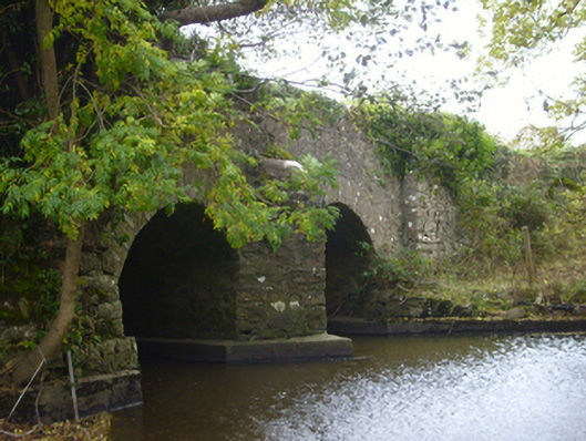 bridgebridge · 1.1 mi
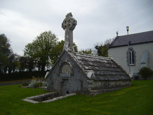 Saint Teresa's Catholic Churchmausoleum · 1.3 mi
 Castle (in ruins)Castle, Anglo-Norman masonry castle · 1.6 mi
 HawthornHawthorn · 2.8 mi
 European ashEuropean ash · 2.8 mi
 Drumharsna CastleHeritage attraction · 3.9 mi
 KnockapollboyMountain / peak · 4.8 mi
 KnocknarebanaMountain / peak · 6.3 mi
 Mulroney's IslandIslet · 8.3 mi