What is recorded here
On a little plateau towards the S end of the Bricklieve Mountains. The considerably ruined structure is in a large mound (23.5m E-W; max. 17.5m N-S). The tomb consists of a gallery (L 7m) preceded at the E by the remains of opposed transeptal chambers. To the E of these the structure has been removed leaving a depression in the mound. The back and W side of the north transept and the back only of the S transept survive. To the W of the transeptal chambers one chamber (L 2.7m; Wth 2.3m) of the main gallery is intact. Beyond this three stones continue the line of the gallery for c. 4m. To the S of the gallery there are two kerbstones almost 6m apart. (Ó Nualláin 1989, 76-7, no. 121)
The above description is derived from the published 'Archaeological Inventory of County Sligo' compiled by Ursula Egan, Elizabeth Byrne, Mary Sleeman with Sheila Ronan and Connie Murphy (Dublin Stationery Office, 2005).
Date of upload: 18 January 2008
See linked document with details from Seán Ó Nualláin, Survey of the Megalithic Tombs of Ireland. Volume V. County Sligo. (Dublin: Stationery Office, 1989)
Neolithic passage tomb, dating to approximately 3500–2500 BCE. Its significance lies in its alignment and construction, typical of early megalithic traditions in the region, though its exact cultural or ceremonial role remains unclear.
This remains an important historical record, but the official description says the monument is no longer visible or has been destroyed. The monument record does not grant public access. Check the route and ask the landowner before entering private land.
- What survives
- No visible remains or recorded as destroyed
Places near here
 CashelFairy fort / stone ringfort · 458 yd
 Hut site in Carricknahorna EastHut site · 675 yd
 Carricknahorna EastMountain / peak · 683 yd
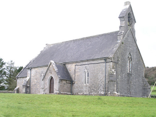 Aghanagh Churchchurch/chapel · 1713 yd
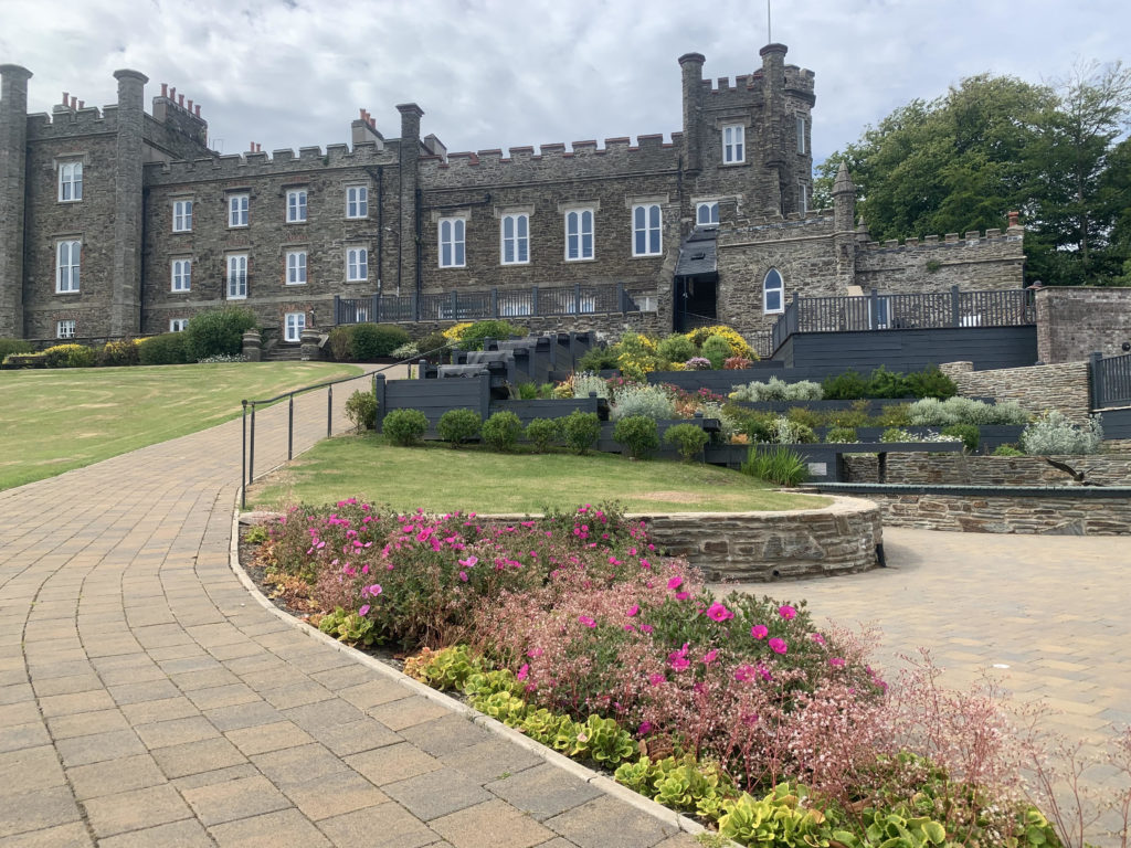 Nunnery (in Ruins)Religious house, unclassified · 1.1 mi
 Bricklieve MountainsMountain / peak · 1.1 mi
 Ballinafad CastleCastle · 1.5 mi
 Treanscrabbagh caveCave · 1.6 mi
 Muck IslandIslet · 2.0 mi
 Annaghgowla IslandIslet · 2.4 mi
 TumulusCastle, motte · 2.5 mi
 Loughbrick BayBay · 2.7 mi