
What is recorded here
Ten thousand years of rain have softened the mound but the wedge remains sharp enough to cut shadow across the forest floor. Five stones on each side still hold a narrow chamber that points toward the water like a finger waiting for an answer. The dead who built it did not bury their dead beneath a hill of forgetfulness; they buried them inside a shape that could be entered, measured and remembered. Giants Grave is not a monument to size. It is a monument to direction, a stone arrow shot into the earth from the age when humans first learned to make death visible instead of hiding it.
Situated in a forest on a hill overlooking Lough Macnean Upper. This ruined gallery, 7.5m long and 1.5m in average width, is aligned roughly SW-NE. Outer-walling, largely collapsed, is visible along both sides. There are vague traces of a mound around the structure. Five orthostats and three fallen sidestones remain on the S side of the gallery and five orthostats and one fallen example on the N side. At the W a tall orthostat to the N and two opposite it at the S may have formed the sides of a portico. Three partly displaced roofstones cover the E end of the gallery. There are two outer wall stones in situ. One is outside the middle of the N side of the gallery and the other beyond its E end at the S. Some 10m to the SW there is a small, round, kerbed cairn (CV004-021----). (de Valera and Ó Nualláin 1972, 105, No. 3)
The above description is derived from the published 'Archaeological Inventory of County Cavan' (Dublin: Stationery Office, 1995). In certain instances the entries have been revised and updated in the light of recent research.
Date of upload/revision: 22 December 2008
See linked document with details from Ruaidhrí de Valera and Seán Ó Nualláin, Survey of the Megalithic Tombs of Ireland. Volume III. Counties Galway, Roscommon, Leitrim, Longford, Westmeath, Laoighis, Offaly, Kildare, Cavan. (Dublin: Stationery Office, 1972).
The monument record does not grant public access. Check the route and ask the landowner before entering private land.
- What survives
- Recorded monument
Places near here
 BurrenMountain / peak · 143 yd
 Druidical AltarPortal tomb · 181 yd
 Cavan BurrenHeritage attraction · 184 yd
 Dolines/SinkholesCave · 185 yd
 Boulder GraveyardArchaeological place · 198 yd
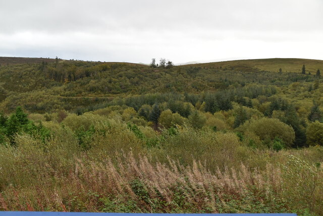 Cavan Burren ParkForest · 244 yd
 Legnaveagh SinkholeCave · 403 yd
 Enclosure in Burren (tullyhaw By., Tuam Ed)Enclosure · 611 yd
 CullentraghMountain / peak · 1453 yd
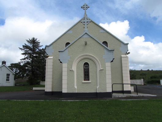 St Felim’s Roman Catholic Churchchurch/chapel · 1.2 mi
 Marlbank ViewpointViewpoint · 1.3 mi
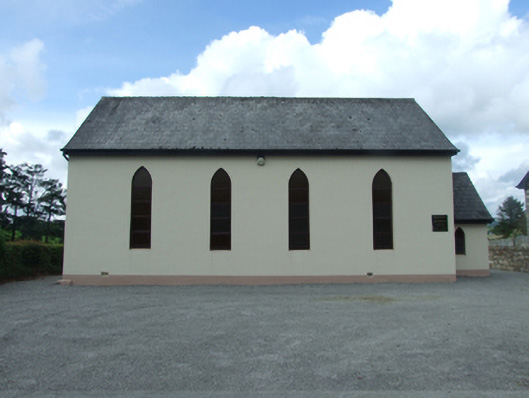 Blacklion Methodist Churchchurch/chapel · 1.7 mi
Other information
Photo: Deadstar · CC BY-SA 4.0