What is recorded here
Half a metre of sky remains where the roofstone split, a wound in the chamber ceiling that may have been opened by a single tree dragging its roots through peat and stone. The gallery stretches four metres into the dark, its walls leaning inward like the ribs of a buried animal, while the mound holds them fast against the hillside. Whatever lived here was large enough to break a giant slab, and the grave still breathes through the gap it made.
Situated in an open space in a plantation on the NW flank of Slieve Rushen. The gallery, 4m long, is slightly higher and wider at its open SW end. Two orthostats form the N side and three the S side. The backstone is set beyond the ends of the gallery sides. A massive slab, split in two, covers all but the SW end of the gallery. A tree rooted in peat on top of the roofstone may have caused the break. There are four outer wall stones to the N of the gallery and two lines of outer-walling, the inner of four stones and the outer of three, at the S. The structure is incorporated in a mound measuring 9m E-W and 7.5m N-S. (de Valera and Ó Nualláin 1972, 114-5, No. 13)
The above description is derived from the published 'Archaeological Inventory of County Cavan' (Dublin: Stationery Office, 1995). In certain instances the entries have been revised and updated in the light of recent research.
Date of upload/revision: 22 December 2008
See linked document with details from Ruaidhrí de Valera and Seán Ó Nualláin, Survey of the Megalithic Tombs of Ireland. Volume III. Counties Galway, Roscommon, Leitrim, Longford, Westmeath, Laoighis, Offaly, Kildare, Cavan. (Dublin: Stationery Office, 1972).
Neolithic passage tomb, dating to approximately 3500–2500 BCE. Its construction reflects early megalithic traditions in the region, with a gallery and orthostats indicating ceremonial or burial use.
The monument record does not grant public access. Check the route and ask the landowner before entering private land.
- What survives
- Recorded monument
Places near here
 RowanRowan · 11 yd
 Grainne's GraveArchaeological place · 11 yd
 HawthornHawthorn · 435 yd
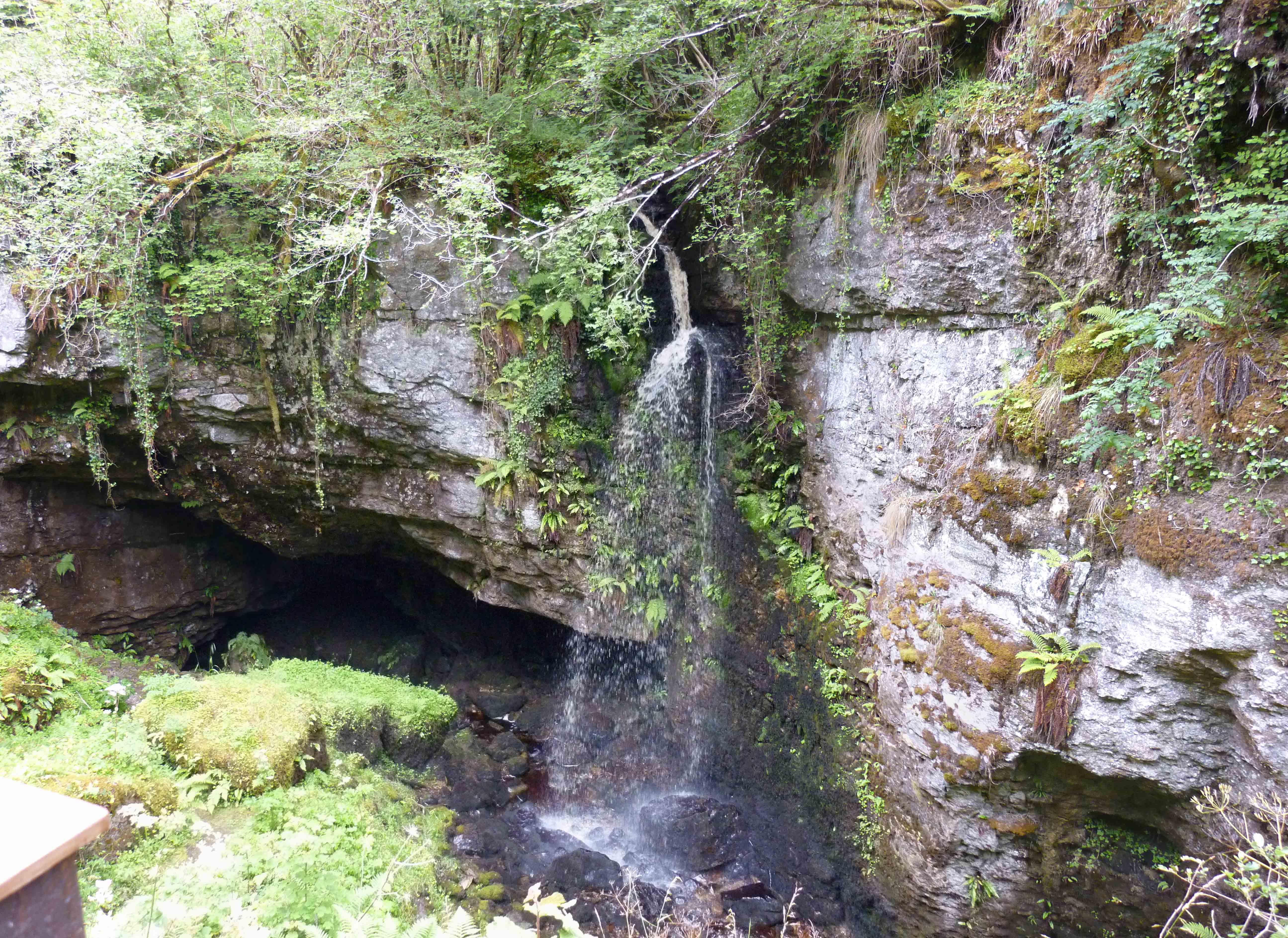 PollnagollumCave · 587 yd
 Tory HoleCave · 934 yd
 Slieve RushenMountain / peak · 1.2 mi
 IndicatedFairy fort / stone ringfort · 1.3 mi
 Standing StoneArchaeological place · 1.3 mi
 CaldraghMountain / peak · 1.4 mi
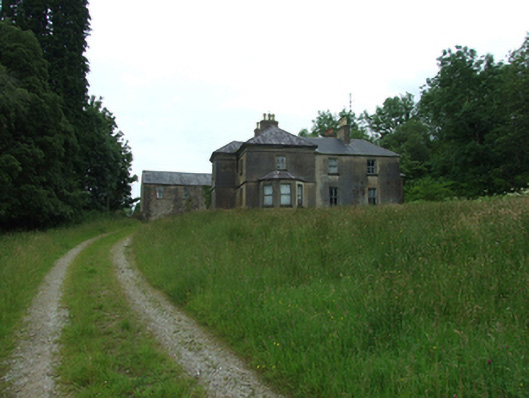 Tircahan Lodgefarm house · 1.8 mi
 Church in ruinsChurch · 1.9 mi
 A Tribute to the BorderbustersMemorial · 2.3 mi