What is recorded here
Half a kilometre east of Laragh, a D-shaped cairn still holds a six-metre gallery beneath its sloping stones. The name Giants Grave belongs to legend, but the chamber is human in scale: a short portico, a tall dividing stone, and a roof of two great slabs buried under a metre and a half of cairn. Whoever built it did not heap rubble blindly. They cut a passage through hill country, aligned it west to east, and hid the dead inside a shape the eye can still trace.
Situated on sloping ground 3km NE of Laragh village. A gallery some 6m long, aligned W-E, is flanked by straight-sided outer-walling. There are two facade-stones to the N of the gallery entrance and one to the S. A lone orthostat beyond the E end of the gallery may be an outer wall stone. The structure is incorporated in a D-shaped cairn 16.5m long, 13m wide and 1.5m high. A tall septal-stone divides the gallery into a short portico and main chamber. The chamber is hidden in the cairn beneath two large slabs, perhaps originally a single roofstone. Two stones in line with the gallery backstone are of uncertain function. (de Valera and Ó Nualláin 1972, 125-6, No. 25)
The above description is derived from the published 'Archaeological Inventory of County Cavan' (Dublin: Stationery Office, 1995). In certain instances the entries have been revised and updated in the light of recent research.
Date of upload/revision: 22 December 2008
See linked document with details from Ruaidhrí de Valera and Seán Ó Nualláin, Survey of the Megalithic Tombs of Ireland. Volume III. Counties Galway, Roscommon, Leitrim, Longford, Westmeath, Laoighis, Offaly, Kildare, Cavan. (Dublin: Stationery Office, 1972).
Neolithic passage tomb, dating to approximately 3500–2500 BCE. Its construction and alignment reflect early megalithic funerary practices in Ireland, though its wider regional significance remains unclear due to limited contextual information.
The monument record does not grant public access. Check the route and ask the landowner before entering private land.
- What survives
- Recorded monument
Places near here
 Giant's GraveArchaeological place · 189 yd
 IndicatedFairy fort / earthen ringfort · 1706 yd
 Tullycoe FortArchaeological place · 1.2 mi
 Cormeen Glebe ForestForest · 1.3 mi
 St Bridget's Roman Catholic Churchchurch/chapel · 1.5 mi
 Foundation Stone Blessed by Pope John Paul II 1979Memorial · 1.5 mi
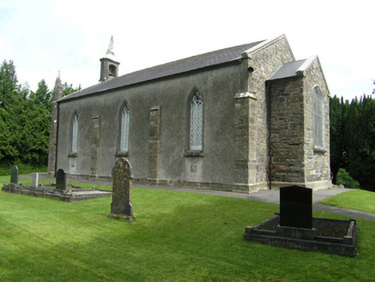 St Mark's Church of Ireland Churchchurch/chapel · 1.6 mi
 Tullyunshin South ForestForest · 1.7 mi
 CarrickallenMountain / peak · 2.3 mi
 CliffernaMountain / peak · 3.3 mi
 Site of Old CastleCastle, unclassified · 3.6 mi
 Bawn in DrumsheilBawn · 4.3 mi