What is recorded here
The precise location of a gateway at the junction between Digges Street Upper and Aungier Street has not been identified (Bradley and King 1987, 3, 197, no 200). This gateway site was shown on the Irish Historic Towns Atlas map of Medieval Dublin c. 840–c. 1540 (Clarke 1978; Clarke 2002).
See attached section of Medieval Dublin c. 840–c. 1540. In H.B. Clarke, Irish Historic Towns Atlas, no. 11, Dublin, Part I, to 1610. Royal Irish Academy, Dublin, 2002 (www.ihta.ie, accessed 14 April 2016).
Compiled by: Geraldine Stout
Revised by: Caimin O'Brien
Date of revised upload: 5 December 2022
The monument record does not grant public access. Check the route and ask the landowner before entering private land.
- What survives
- Recorded monument
Places near here
 CrossCross, Market cross · 14 yd
 public housepublic house · 17 yd
 Irish Citizen ArmyMemorial · 34 yd
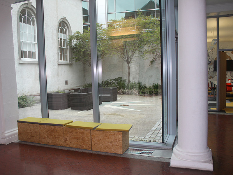 church/chapelchurch/chapel · 110 yd
 'French Peters' ChurchMemorial · 184 yd
 Ecclesiastical enclosure in Unknown TownlandEcclesiastical enclosure · 210 yd
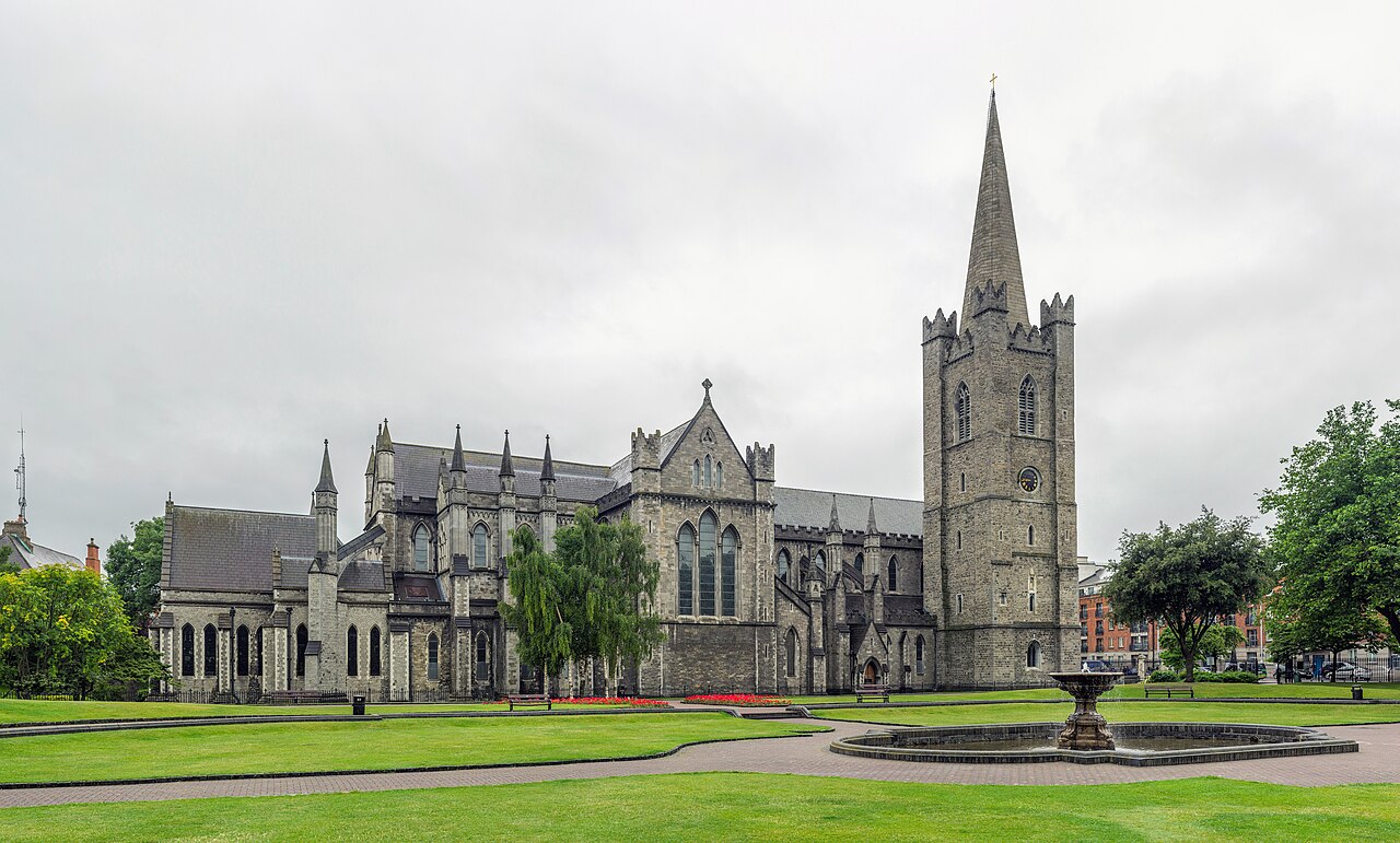 Saint Patrick's CathedralHeritage attraction · 419 yd
 Museum of Literature IrelandMuseum · 450 yd
 CastleCastle, Anglo-Norman masonry castle · 589 yd
 Tourist Information CentreVisitor information · 684 yd
 Newcomen BankVisitor information · 691 yd
 Bigleaf MapleBigleaf Maple · 978 yd