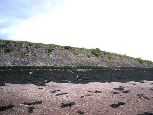
What is recorded here
Rubble limestone walls, built c. 1845, dividing slob lands.
This famine wall is a physical reminder of relief strategies such as the Work Schemes - usually run by church groups or landlords - whose function was to provide employment for local communities at the time of the potato famine. This well-preserved wall provides important historical and social context to the town of Youghal.
This does not grant access. Most recorded buildings are privately owned; view them only from public ground unless the owner allows entry.
Places near here
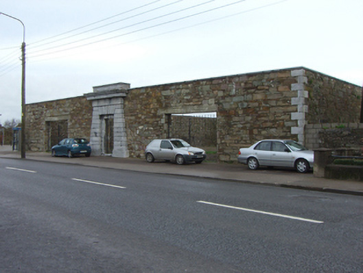 The Bridewellprison/jail · 349 yd
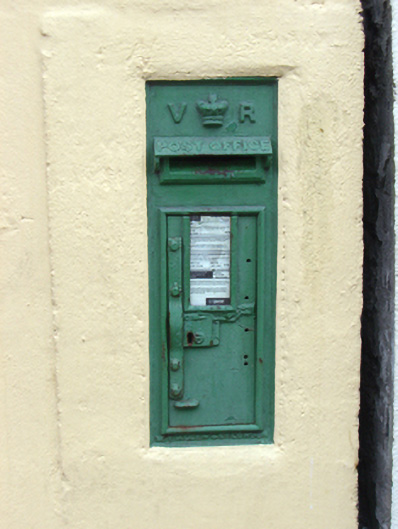 post boxpost box · 450 yd
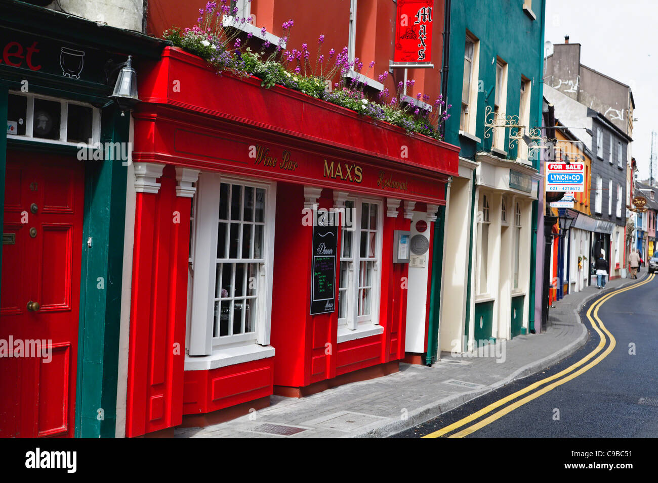 Store Street & New Catherine StreetVisitor information · 546 yd
 Tynte's CastleCastle · 561 yd
 European YewEuropean Yew · 619 yd
 English hollyEnglish holly · 631 yd
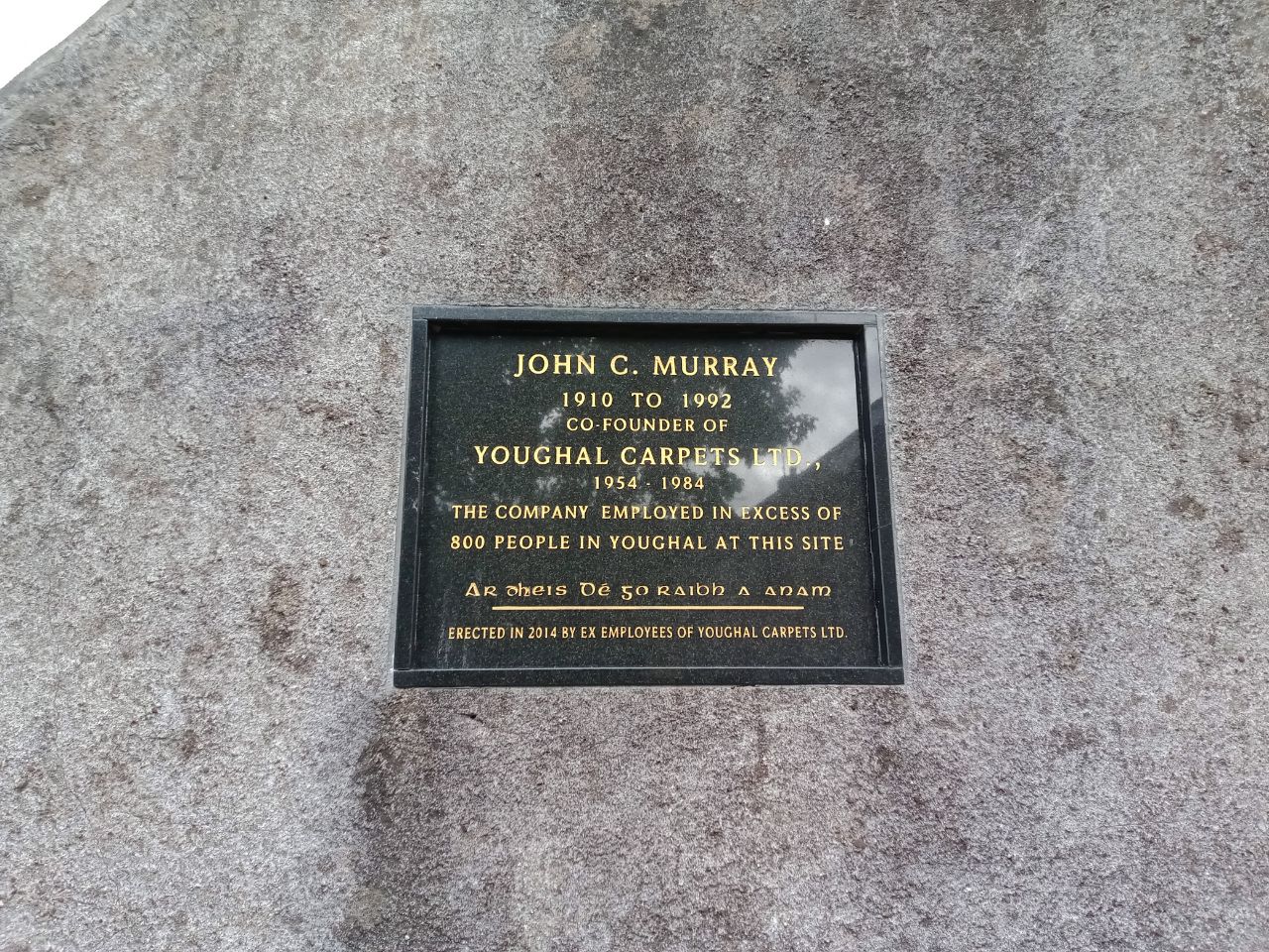 John C. MurrayMemorial · 648 yd
 Our Lady's CollegeMemorial · 667 yd
 CrossCross, Market cross · 692 yd
 Collegiate Church of Saint MaryHeritage attraction · 704 yd
 G YdGraveyard · 770 yd
 Priory Court Car ParkVisitor information · 783 yd
Other information
Photo: National Inventory of Architectural Heritage · Website use allowed for educational or private purposes with source credit