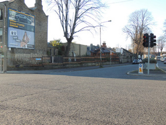
What is recorded here
Cast-iron railings and calp limestone walls to Western Way, constructed c.1880. Cast-iron railings on chamfered granite plinth to south-east of Western Way, curving east to Mountjoy Street, terminating in square-profile cut granite pier. Cast-iron gate to north-east at entrance to gate lodge, having two cut-granite square-profile piers. Calp limestone walls to north and south of Western Way, curving south at north-west corner to meet Dominick Street Upper. Early cast-iron railings, on chamfered limestone plinth call to north-west corner of Dominick Street Upper.
Western Way was created as a circulation route c.1880, linking Constitution Hill to the south-west with Mountjoy Street to the east. The Midland Great Western Railway (MGWR) developed a train station at Broadstone from 1841, and purchased the Royal Canal in 1845. In 1877, the MGWR was given permission to close 150 yards of the canal branch line and to construct a new forecourt for the train station. The new approach road, Western Way, was built by way of Foster aqueduct, with Saint Mary’s Chapel of Ease, or the Black Church, as its eastern focal point. The road curves around the site of former Palmerston House at the north-west corner of Dominick Street Upper. Dominick Street Upper was developed from the 1820s, but remained largely undeveloped until the Broadstone railway terminus was built. Sites for villas and terraces were offered in the 1860s, and the north side was owned by the Palmerston estate, where they built Palmerston House north of the junction of Dominick Street Upper and Constitution Hill. The fine cast-iron railings and granite gate piers are indicative of the wealth of the MGWR as patron and high quality craftsmanship throughout the nineteenth century.
This does not grant access. Most recorded buildings are privately owned; view them only from public ground unless the owner allows entry.
Places near here
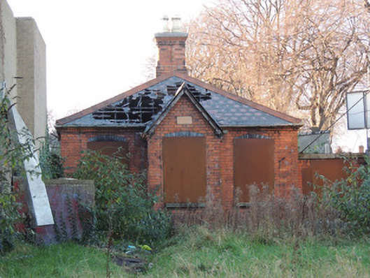 gate lodgegate lodge · 9 yd
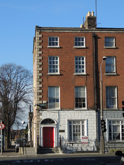 Mountjoy Family Practicehouse · 51 yd
 Iris MurdochMemorial · 271 yd
 King's Inns ParkVisitor information · 282 yd
 14 Henrietta Street museumMuseum · 313 yd
 Hugh Lane GalleryGallery · 335 yd
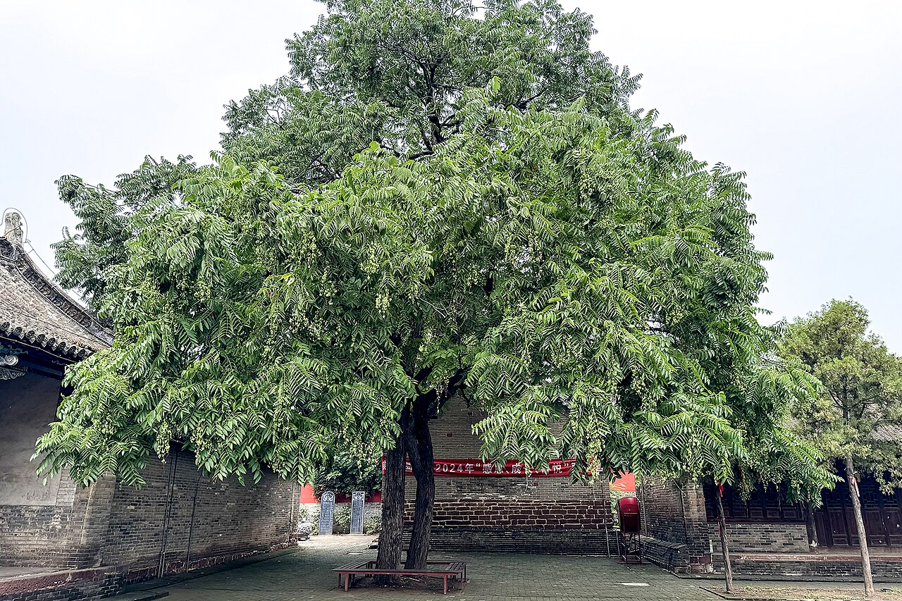 Chinese ToonChinese Toon · 350 yd
 We saw a visionMemorial · 402 yd
 London PlaneLondon Plane · 430 yd
 Burial in Unknown TownlandBurial · 554 yd
 Burial ground in Unknown TownlandBurial ground · 635 yd
 Campus Information PointVisitor information · 828 yd
Other information
Photo: National Inventory of Architectural Heritage · Website use allowed for educational or private purposes with source credit