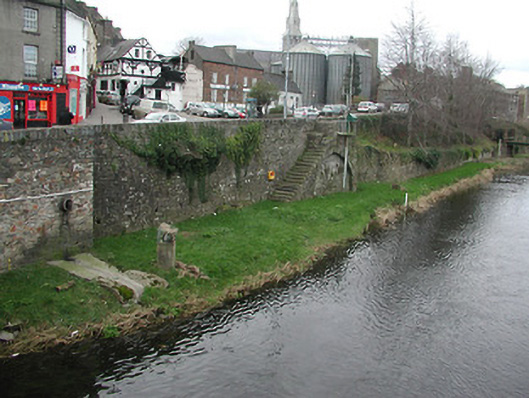
What is recorded here
Section of random rubble stone retaining wall, built 1820, with flight of twenty cut-stone steps leading to river bank (on segmental relieving arch with dressed rubble stone voussoirs, and random rubble stone infill), and dressed rubble stone (schist) vertical coping. Street fronted [SS].
Exhibiting a traditional construction in local fieldstone with 'refined' coping in a manner characteristic of the locality and the rural environs, a substantial retaining wall reputedly established by the trustees of the estate of the Earl of Portsmouth as part of a comprehensive river navigation improvement programme (see also 15603156 - 157) represents an important element of the urban landscape heritage of Enniscorthy with particular emphasis on the pleasing aspects from Enniscorthy Bridge (see 15603154) and the River Slaney.
This does not grant access. Most recorded buildings are privately owned; view them only from public ground unless the owner allows entry.
Places near here
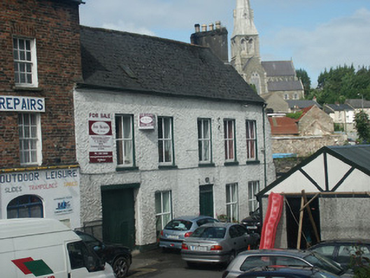 Antwerp Househouse · 42 yd
 bridgebridge · 51 yd
 Battle of Vinegar HillMajor battlefield · 217 yd
 Dandelion StatueMonument · 271 yd
 U.N. Peace MemorialMonument · 287 yd
 site of AbbeyReligious house, Franciscan friars · 293 yd
 Duffry GateMemorial · 336 yd
 National 1798 CentreMuseum · 737 yd
 Vinegar HillMountain / peak · 1083 yd
 Battle of Vinegar Hill, 1798Monument · 1137 yd
 Daphney CastleCastle, unclassified · 1.4 mi
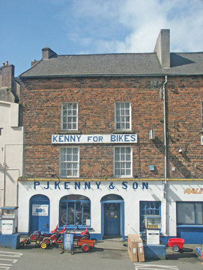 P.J. Kenny and Sonhouse · 57 yd
Other information
Photo: National Inventory of Architectural Heritage · Website use allowed for educational or private purposes with source credit