What is recorded here
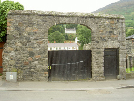
Stone gateway, built c. 1820. Random rubble stone walling, saddle-coping, squared limestone quoins to north-east corner. Camber-headed carriage arch, limestone voussoirs, corrugated-iron gate; square-headed pedestrian gate to north, limestone relieving arch, painted timber architrave on limestone plinth-blocks, painted timber vertically-sheeted gate. Parallel random rubble stone walls running westwards from north and south corners flanking entranceway. Set to west of road, wrought-iron railings to north.
This appealing gateway exhibits high quality stonework in its construction and forms an in interesting piece of street architecture. Though its original association has been lost, it may have been related to the former warehouse to the north. Features such as this contribute to the texture of the town.
This does not grant access. Most recorded buildings are privately owned; view them only from public ground unless the owner allows entry.
Places near here
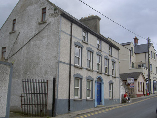 Carlingford Mountain Viewhouse · 20 yd
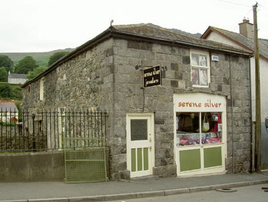 store/warehousestore/warehouse · 22 yd
 Carlingford Heritage CentreVisitor information · 58 yd
 Graveyard in Liberties OF CarlingfordGraveyard · 81 yd
 TholselGatehouse · 106 yd
 Town GateHeritage attraction · 107 yd
 Carlingford Ogham StoneMemorial · 155 yd
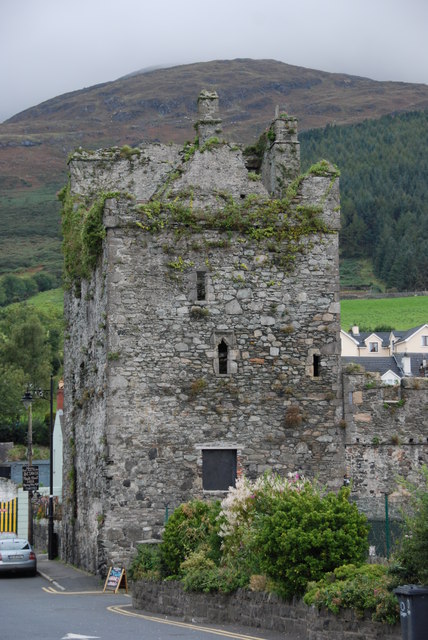 Taaffe's CastleCastle · 207 yd
 CastleCastle, tower house · 379 yd
 Town defences in Liberties OF CarlingfordTown defences · 421 yd
 Carlingford - Loop 1A- Commons LoopWalking route · 460 yd
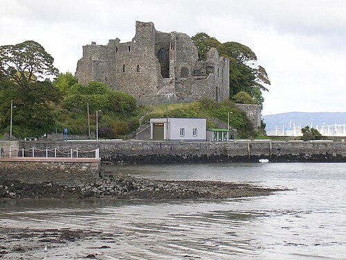 Carlingford CastleHeritage attraction · 494 yd
Other information
Photo: National Inventory of Architectural Heritage · Website use allowed for educational or private purposes with source credit