What is recorded here
Located on a broad ridge top, in rough pasture broken by E–W seams of limestone outcropping. Immediately to S, the ground dips gently into a narrow, shallow E-W valley of wet ground. Oval enclosure (diam. c. 30.5m N–S; c. 26m E–W) defined by remnants of a stone bank /wall. The stone bank appears as a very low-profile, grass- and moss-covered rise (Wth 1.4-c. 2m; H 0.3-0.4m) from which occasional stones protrude. It is most clearly traced at N–NE and at SE-SW; elsewhere, it is barely discernible as a slight rise or cropmark of moss or low juniper scrub, and at SW-NW it is almost entirely levelled. The interior has a rough, hummock-covered suface, with seams of limestone breaking the surface in the S half. A shallow E–W central dip marks a tractor route through the interior, bracketted at E by a gap (Wth 4m), possibly an original entrance, in the enclosing wall, and at W by a levelled section of wall.
Attached images:
DG104.013----_01.JPG enclosure viewed from E
DG104.013----_02.JPG enclosing stone bank/wall
Compiled by: Jane O'Shaughnessy
Date of upload: 7 May 2015
The monument record does not grant public access. Check the route and ask the landowner before entering private land.
- What survives
- Recorded monument
Places near here
 Garvanagh EnclosureEnclosure · 671 yd
 Garvanagh Small Stone EnclosureEnclosure · 755 yd
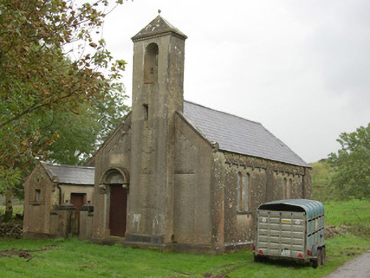 Carricknahorna Orange HallOrange Hall · 1710 yd
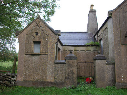 Carricknahorna Masonic HallOrange Hall, masonic lodge/hall · 1714 yd
 HawthornHawthorn · 1.8 mi
 Castle (Site of)Castle, unclassified · 2.1 mi
 Castle in ruinsCastle, unclassified · 4.4 mi
 MurvaghOfficial bathing water · 4.5 mi
 RossnowlaghOfficial bathing water · 4.6 mi
 Belleek Pottery MuseumMuseum · 5.0 mi
 St Anne's Church GraveyardGraveyard · 5.0 mi
 RSPB Lower Lough Erne IslandsNature reserve · 6.3 mi
Other information
Photo: Credit not shown in the picture search · Rights wording not checked; contact us if this picture should be removed