What is recorded here
Marked 'Garrett's Well' on the OS 6-inch maps. The name is not in antquarian font used to denote antiquities. There is no evidence to suggest that this is a holy well.
Compiled by: Paul Walsh
Date of upload: 20 June 2012
The monument record does not grant public access. Check the route and ask the landowner before entering private land.
- What survives
- Recorded monument
Places near here
 Garretts FortFairy fort / earthen ringfort · 184 yd
 Garrets FortArchaeological place · 186 yd
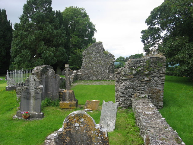 Kildemock Church (in ruins)Church · 675 yd
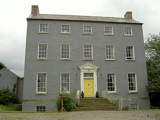 Kildemock Houserectory/glebe/vicarage/curate's house · 784 yd
 Graveyard in StickillinGraveyard · 1.3 mi
 Dawsons MoatCastle, motte and bailey · 1.4 mi
 Not idicatatedCastle, unclassified · 1.4 mi
 European White ElmEuropean White Elm · 1.9 mi
 Sir Frederick Foster MemorialMemorial · 1.9 mi
 Lebanon CedarLebanon Cedar · 2.4 mi
 Mount OrielMountain / peak · 3.2 mi
 Black HillMountain / peak · 4.1 mi