What is recorded here
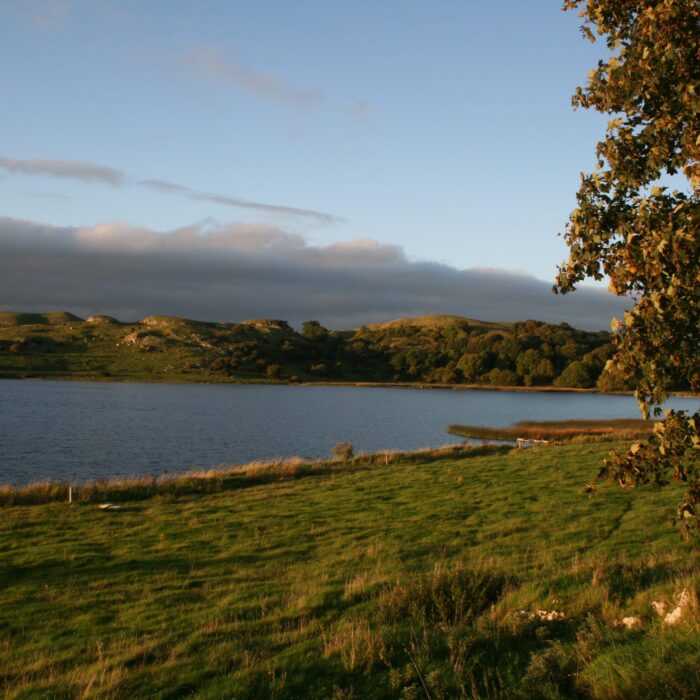
Garret Island is a crannog in Lough Gur, County Limerick, holding two settlement platforms, a habitation site, a castle and a causeway to Knockadoon Peninsula. When the lake level dropped, the exposed island yielded hundreds of cartloads of ox, pig, goat, stag and dog bones, along with a few heavy human jaws. Poor people in Bruff collected and sold those bones during the potato famine, turning a submerged kitchen midden into a desperate livelihood.
On Garretts Island in the centre of Lough Gur, which lies 55m W of Knockadoon Peninsula. Two settlement platforms (LI032-016/017---), a habitation site (LI032-019----) and a castle (LI032-018----) occupy the island with a causeway (LI032-021----) leading from the S side to Knockadoon Peninsula. The island (257ft/78m OD) is depicted on the 1840 ed. OSi 6-inch map as a roughly oval-shaped area (40m NE-SW; 31m NW-SE) which was 5ft/1.5m above the water level of the lake. The 1897 ed. OSi 25-inch map depicts a much larger irregular-shaped island (190m N-S; 100m E-W) exposed by the lowering of water level to 247ft/75m which was 10ft/3m lower than in 1840.
Identified by Professor Harkness (1869, 395) as a substantial assemblage of animal bone and some human bone and described as follows: ‘At the time when the level of the lake [Lough Gur] was lowered, and the area of the island increased, the land laid bare was found to be covered with an enormous accumulation of bones. More than a hundred cart-loads of these bones were removed and sold to the dealers in such articles. For many years subsequent to the lowering of the surface of the lake, this spot continued to be a very prolific source of bones, for during the potato famine, the poor of the town of Bruff, when the water was low, obtained a scanty livelihood by collecting and selling bones from this locality’. Harkness (ibid, 396) continues to describe the assemblage as follows: ‘The bones procured here consisted of the remains of Bos longifrons [small ox], the heads of which almost exhibited a fractured front, produced by the blow which had killed them. Bones of the pig and goat were also found, the heads of which were likewise marked by broken frontal portions. Together with these were the bones and antlers of the stag, and some skulls, jaws, and other bones of a dog of a large size, and with an elongated muzzle. These dogs seem to have belonged to a race which was the progenitor of the now extinct rough-haired Irish greyhound. A few human remains were found along with the other bones. Some of these consisted of lower jaws, generally of a large size, and a heavy outline’.
Garrett Island is visible as an irregular-shaped wood covered island (250m N-S; 110m E-W) on OSi orthoimage taken 2005-2012, on Digital Globe orthoimage taken 2011-2013 and on Google Earth orthoimage taken 28/06/2018. These modern aerial orthoimages show that the island is situated 45m to W of Knockadoon Peninsula which is on the mainland, with shallow reefs visible in the water. This may be the crannóg that was described as 'the island of Loch Gair' which was built by Brian Boru (Todd 1867, 141).
Compiled by: Alison McQueen and Vera Rahilly
Date of upload: 12 November 2020
The monument record does not grant public access. Check the route and ask the landowner before entering private land.
- What survives
- Recorded monument
Places near here
 Settlement platform in KnockfennellSettlement platform · 30 yd
 Garret IslandCastle, unclassified · 40 yd
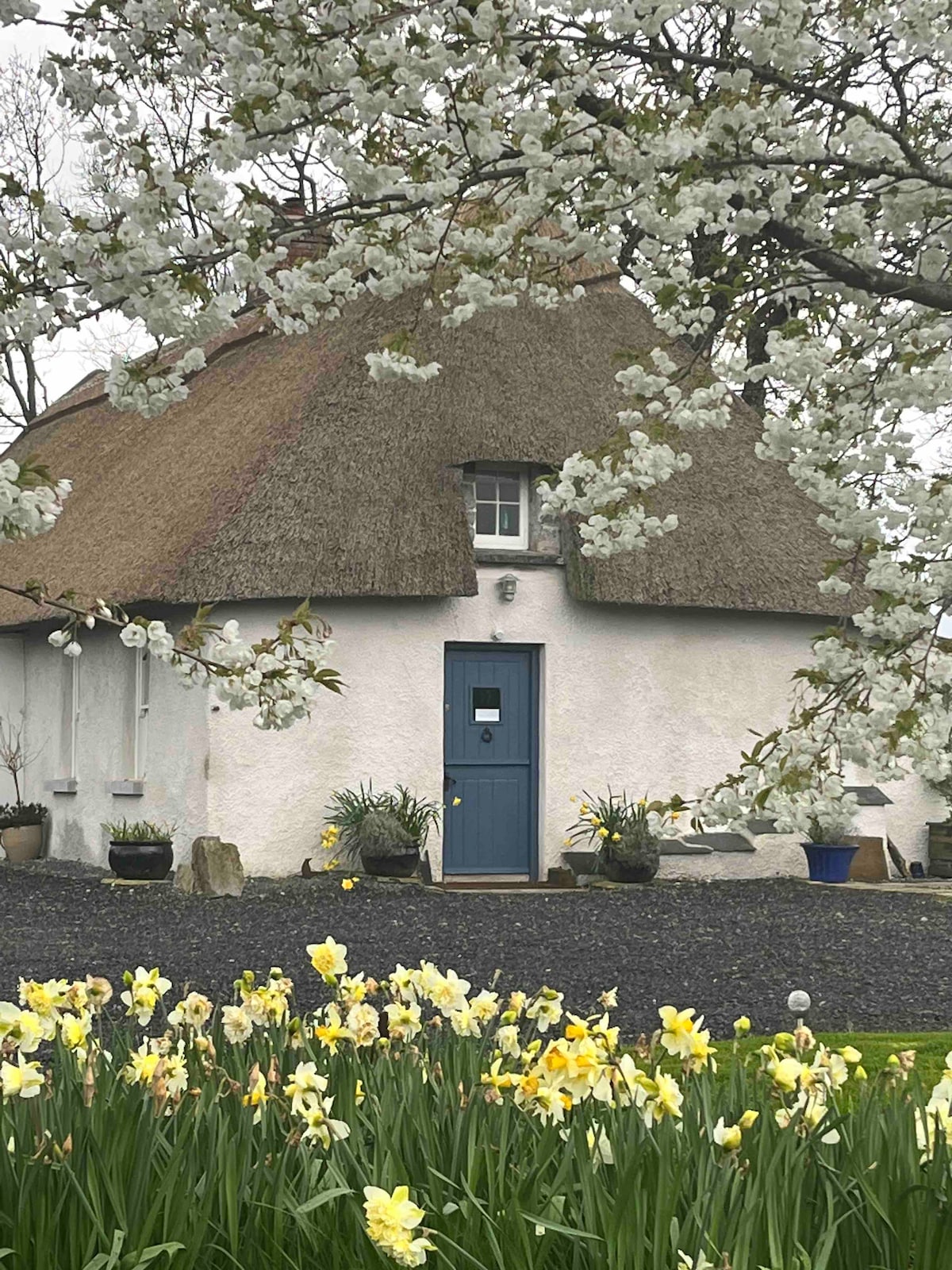 Habitation site in KnockfennellHabitation site · 116 yd
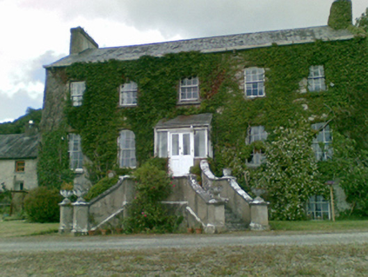 Loughgur Housecountry house · 584 yd
 Cladh na LeacRoad, road/trackway · 584 yd
 Black Castle (in ruins)Castle, tower house · 763 yd
 Pedunculate OakPedunculate Oak · 838 yd
 Grange Stone CircleArchaeological place · 851 yd
 Lough GurVisitor information · 902 yd
 The SpectaclesVisitor information · 1064 yd
 Lough Gur Heritage CentreVisitor information · 1069 yd
 Glen BogForest · 2.1 mi
Other information
Photo: Credit not shown in the picture search · Rights wording not checked; contact us if this picture should be removed