What is recorded here
Caol An Phréacháin Thoir once held two stones, but the second vanished between map editions, leaving behind a broad, hunched slab that still squats in the boggy pasture. The remaining gallaun measures 1.54 metres high and 1.77 metres across, a squat shadow on the lower slope of Knockoura peak. It is unclear whether the lost stone fell, was carried off, or never existed at all, but the empty space beside its partner still marks the shape of what the land forgot.
In scrub on lower N slope of Knockoura peak. Shown as pair of stones on OS 6-inch map (1842). No visible surface trace.
The above description is derived from the published 'Archaeological Inventory of County Cork. Volume 1: West Cork' (Dublin: Stationery Office, 1992). In certain instances the entries have been revised and updated in the light of recent research.
Date of upload/revision: 14 January 2009
The monument record does not grant public access. Check the route and ask the landowner before entering private land.
- What survives
- Recorded monument
Places near here
 Boulder-burial in UrhinBoulder-burial · 1249 yd
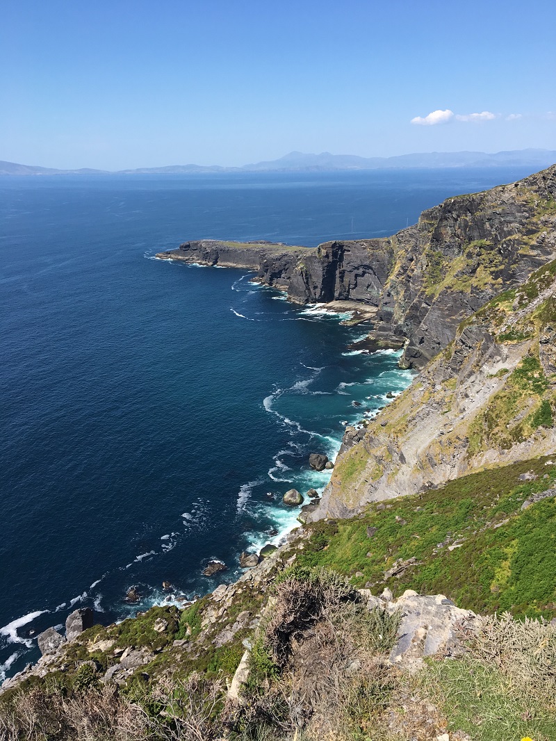 Wild Atlantic WayVisitor information · 1478 yd
 Field boundary in CaherkeenField boundary · 1580 yd
 Church in CaherkeenChurch · 1.0 mi
 RoadRoad, road/trackway · 1.4 mi
 Mass RockVisitor information · 1.7 mi
 KnockgourMountain / peak · 1.7 mi
 Caherkeen Mass RockHeritage attraction · 1.8 mi
 Miskish MountainMountain / peak · 1.8 mi
 Pallas StrandBeach / strand · 2.0 mi
 The BullIslet · 2.4 mi
 Allihies Copper Mine MuseumMuseum · 2.5 mi