What is recorded here
One gallaun still stands in boggy Iveragh pasture, though two were once marked nearby. The lost stone may have fallen, been removed, or never have stood where first drawn, leaving the pair’s purpose unreadable. The remaining slab is broad, low, and squat, more like a hunched shoulder than a proud pillar. It belongs to the dense Bronze Age monument landscape of the Iveragh Peninsula, where even a single surviving stone keeps the memory of a larger arrangement alive.
In pasture on W-facing slope to NW of standing stone (CO093-02702-). Sub-rectangular stone; long axis NW-SE (H 1.3m; 0.55m x 0.35m). Prostrate stone with two perforations lies on E side (L 2.5m; 0.6m x 0.4m).
The above description is derived from the published 'Archaeological Inventory of County Cork. Volume 1: West Cork' (Dublin: Stationery Office, 1992). In certain instances the entries have been revised and updated in the light of recent research.
Date of upload/revision: 14 January 2009
The monument record does not grant public access. Check the route and ask the landowner before entering private land.
- What survives
- Recorded monument
Places near here
 Fulacht fia in Tooreen (carberry East, Western Division)Fulacht fia · 393 yd
 Burnt spread in CoolmountainBurnt spread · 980 yd
 Coolmountain Schoolschool · 1.1 mi
 Shehy MoreMountain / peak · 1.2 mi
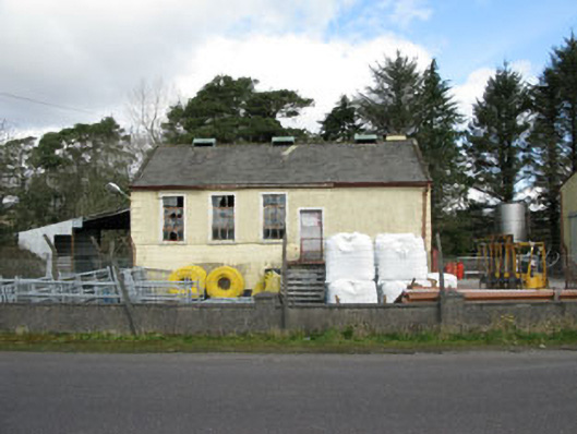 Togher Creamerycreamery · 1.8 mi
 CarriganineMountain / peak · 2.0 mi
 Togher CastleCastle, tower house · 2.2 mi
 Gortnahoughtee Mass RockNamed rock · 2.3 mi
 Funmanway Adventure LandHeritage attraction · 4.5 mi
 St Finbarr's Pilgrim RouteWalking route · 5.4 mi
 Castle (Site of)Castle, Anglo-Norman masonry castle · 5.6 mi
 Dunmanway Heritage CentreVisitor information · 5.7 mi