What is recorded here
Three tall thin slabs, a low stone and a large prostrate slab still mark a low ridge in County Cork. The tallest leans heavily east at 4.3m, while the others stand or lie scattered along a general ENE-WSW line. They are not a neat row, but their size and placement suggest people once shaped the ridge into a visible landmark.
Row of three tall thin slabs, a low stone and large prostrate slab, prominently situated on low ridge. The stones not set in line, but have general ENE-WSW alignment. Low stone stands at the NE; it is 1.3m L, 0.2m T and 1m H and is loosely set in ground. Prostrate slab to N of this measures 4m x 1.3m and probably formed part of row. First of the three tall slabs leans heavily to E; it is 0.5m L, 0.3m T and 4.3m H. Next stone, 2.8m to the SW, is 0.5m L, 0.2. T and 2.5m H; loose stone lies beside it. (O Nualláin 1988, 237, no. 55; Roberts 1988, Ch. 2, no. 28)
The above description is derived from the published 'Archaeological Inventory of County Cork. Volume 1: West Cork' (Dublin: Stationery Office, 1992). In certain instances the entries have been revised and updated in the light of recent research.
Date of upload/revision: 14 January 2009
Likely dating to the Late Neolithic or Bronze Age, the Gallauns (Three Fingers) may have functioned as a ritual or territorial marker. The arrangement and alignment suggest a possible astronomical or ceremonial purpose, though specific folklore or use remains unrecorded.
The monument record does not grant public access. Check the route and ask the landowner before entering private land.
- What survives
- Recorded monument
Places near here
 The Three FingersArchaeological place · 4 yd
 Carraig ThrounceMountain / peak · 270 yd
 Keil Burial Gd (Disused)Burial ground · 315 yd
 Castletownsend National Schoolschool · 459 yd
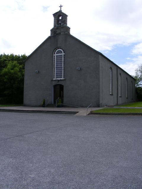 St. Barrahane's Roman Catholic Churchchurch/chapel · 528 yd
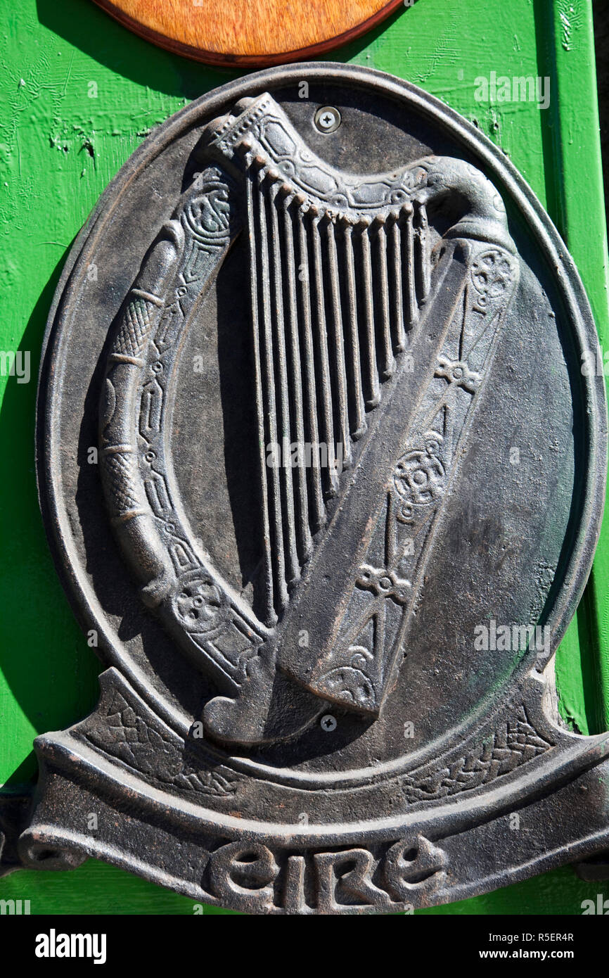 The Irish RM PlaqueMemorial · 961 yd
 Battle of CastlehavenMemorial · 998 yd
 SycamoreSycamore · 1198 yd
 CuaisínBeach / strand · 1277 yd
 Bayard Warren PlaqueMemorial · 1360 yd
 Castle TownshendCastle · 1360 yd
 CarraigínBeach / strand · 1490 yd