What is recorded here
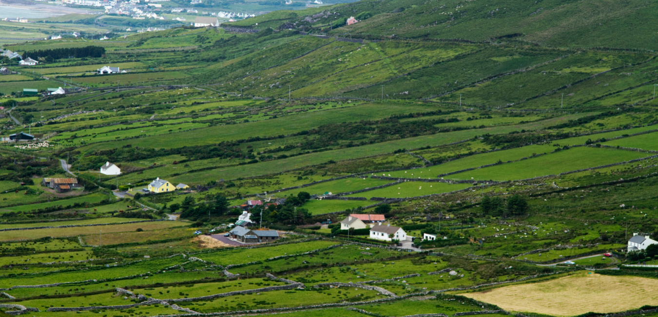
This site is situated in reclaimed bogland on the floor of the Bridia valley, 75m S of the Caragh river. The location is encircled by high mountains, except where the valley opens to W. Ó Nualláin recorded a possible boulder-burial NE of the site (1988, 239), but the land here was deep-ploughed in 1989 and no trace of this feature survives.
The stone row consists of three orthostats, the smallest of which was levelled in 1989. The other two stand in a ENE-WSW line, 2.25m apart. The taller stone, at ENE, is of trapezoidal plan at base and of somewhat irregular elevation; it stands 2.27m high and has maximum dimensions of .87m x .33m at base. The second stone tapers in elevation towards a flat top, rising to a height of 1.88m; it measures .57 x .46m at base. The third component of the row was a low stone which stood c. 1.2m further to WSW; it measured .4m high and .58m x .3m at base. Analysing the significance of this monument's orientation, Lynch concluded that it was aligned on the rising sun at the summer solstice (1981b, 26).
The possible boulder-burial was located 24m to the NE of the stone row. Before destruction it comprised a large boulder, 1.6m x 1.35m, which rested above four or more small stones (Ó Nuallain 1988, 238-9, Fig. 14).
The stone row was disturbed during land reclamation operations in 1989 and, as a result, was excavated (Sheehan 1990a, 30). The socket of the felled orthostat and the area around the two remaining uprights were investigated. A shallow pit and a number of stake-holes were discovered close to the ENE orthostat, but these may not be contemporary with the monument. The location of the possible boulder-burial was also excavated, but no finds or features were noted.
The above description is derived from A. O'Sullivan and J. Sheehan (compilers), 'The Iveragh peninsula: an archaeological survey of South Kerry'. Cork University Press (1996), no. 108. In certain instances the entries have been revised and updated in the light of recent research.
Date of upload: 28 July 2013
The monument record does not grant public access. Check the route and ask the landowner before entering private land.
- What survives
- Recorded monument
Places near here
 Burnt spread in DromteewakeenBurnt spread · 10 yd
 Beann DheargMountain / peak · 1393 yd
 Beann BhánMountain / peak · 1.4 mi
 Ballaghbeama GapViewpoint · 1.7 mi
 Megalithic structure in DerreenyMegalithic structure · 2.0 mi
 CarrauntoohilMountain / peak · 3.4 mi
 Devil's Ladder RouteWalking route · 4.6 mi
 Blackstones Bridgebridge · 4.8 mi
 Crash site of USAAF DakotaHeritage attraction · 5.1 mi
 Penitential station in TreanmanaghPenitential station · 6.5 mi
 Castle Core (in Ruins)Castle, tower house · 8.7 mi
 Lough Nambrackdarrig Nature ReserveNature reserve · 9.0 mi