What is recorded here
In rough pasture between two knolls of outcropping rock. Row of four stones, aligned NE-SW, and 6.7m in overall length. Only stumps of the two NE stones survive (not noted in Ó Nualláin 1988). NE stone is 0.55m L ,0.15m T and 0.15m H. Second stone, exposed 0.7m further to SW, is over 0.5mL, over 0.1m T and 0.15m H. Third stone, 0.7m to SW, is 0.8m L, 0.3m T and 1.9m H. SW stone, 1.85m from the last, is 1.55m L, 1.1m T and 1.45m H. Radial-stone cairn (CO0940125---) c. 16m to SE. (Ó Nualláin 1988, no. 117)
The above description is derived from the published 'Archaeological Inventory of County Cork. Volume 1: West Cork' (Dublin: Stationery Office, 1992). In certain instances the entries have been revised and updated in the light of recent research.
Date of upload/revision: 14 January 2009
Likely dating to the Late Neolithic or Early Bronze Age, the row may have had ceremonial or territorial significance. Its alignment and positioning suggest possible astronomical or ritual use, though specific folklore or meaning is not recorded.
The monument record does not grant public access. Check the route and ask the landowner before entering private land.
- What survives
- Recorded monument
Places near here
 CairnCairn, radial-stone cairn · 36 yd
 OCrowleys Castle (in Ruins)Castle, tower house · 1.2 mi
 IndicatedEcclesiastical enclosure · 1.2 mi
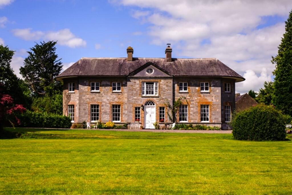 Country house in ArdcahanCountry house · 1.3 mi
 Caha BrBridge · 2.1 mi
 Castle RockNamed rock · 2.3 mi
 Irish National Forestry FoundationNature reserve · 2.8 mi
 Funmanway Adventure LandHeritage attraction · 3.0 mi
 Mount GunneryMountain / peak · 3.0 mi
 Graveyard in Dunmanway NorthGraveyard · 3.3 mi
 Ballynacarriga CastleCastle, tower house · 3.7 mi
 Dunmanway Heritage CentreVisitor information · 3.7 mi