What is recorded here
Gallauns holds two tall stones on a sunny Kerry slope, watching the Kealbrogue valley and forming a boundary between Ballyvirrane and Knockantota. One reaches 2.25m, the other 1.8m, set 1.6m apart in a northeast-southwest line. A third stone leans nearby, perhaps dropped during field clearance rather than placed in ceremony. The pair still stands in pasture, marking a line between townlands and leaving behind a thin slice of the people who first measured the world through them.
In pasture on the flat shoulder of a gentle S-facing slope overlooking the shallow valley of the Kealbrogue Stream. Monument, incorporated in the townland boundary fence separating Ballyvirrane from Knockantota, consists of two stones, 1.6m apart, and aligned NE-SW. The NE stone measures 1.35m L, 1m T and is 2.25m H. The SW stone measures 1.3m H, 0.85m T and is 1.8m H. A stone (0.85 x 0.55 x 1.9m) leans against the fence c. 1m S of the SW stone and probably represents field clearance. (Ní Loingsigh 1976, table 15)
Compiled by: Elizabeth Byrne, Ursula Egan and Sheila Ronan, Archaeological Survey Unit, University College, Cork.
Date of upload: 31 January 2011
The monument record does not grant public access. Check the route and ask the landowner before entering private land.
- What survives
- Recorded monument
Places near here
 Parkalassa FortFairy fort / earthen ringfort · 524 yd
 Enclosure in KnockavotaEnclosure · 1063 yd
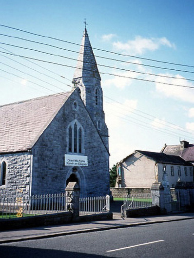 Catholic Church of the Sacred Heartchurch/chapel · 1.1 mi
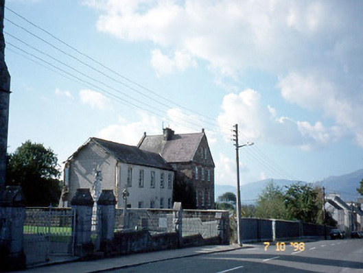 The Monasteryconvent/nunnery · 1.1 mi
 CastleCastle, tower house · 1.3 mi
 Clash IslandIslet · 1.9 mi
 Cloon IslandIsland · 2.3 mi
 The Kerry Creamery ExperienceHeritage attraction · 2.5 mi
 Site of Castle MaineCastle, Anglo-Norman masonry castle · 2.8 mi
 King Puck statueMemorial · 2.9 mi
 LisnagraveArchaeological place · 4.3 mi
 Dunloe Ogham StonesHeritage attraction · 6.0 mi