What is recorded here
Pillar stone (KE088-015005-): This stone stands close to the entrance of the enclosure, 1.5m from its S side. It is a broad, tapering slab which inclines slightly to W. It stands 1.7m high, is orientated NNW-SSE and measures .9m x .15m at base. A single cupmark is located on its W face.
The above description is derived from A. O'Sullivan and J. Sheehan (compilers), 'The Iveragh peninsula: an archaeological survey of South Kerry'. Cork University Press (1996), no. 922. In certain instances the entries have been revised and updated in the light of recent research.
Date of upload: 29 July 2013
Likely dating to the Bronze Age, this pillar stone may have had a ritual or territorial function, possibly linked to a nearby enclosure. Its orientation and positioning suggest it could have been part of a ceremonial landscape, though specific folklore or symbolic meaning is not recorded.
The monument record does not grant public access. Check the route and ask the landowner before entering private land.
- What survives
- Recorded monument
Places near here
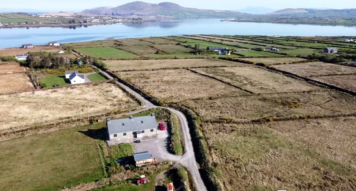 Shrine in AghatubridShrine · 35 yd
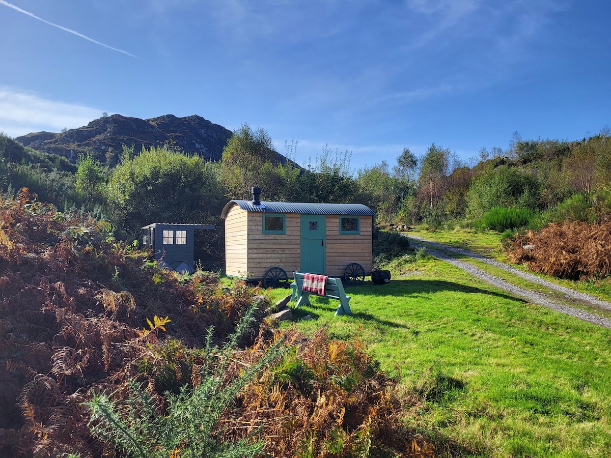 Hut site in AghatubridHut site · 103 yd
 FoilcloghMountain / peak · 2.1 mi
 Fermoyle Castle (in Ruins)Castle, tower house · 2.2 mi
 Kineigh Househouse · 2.2 mi
 Mc Crehins Castle (Site of)Castle, unclassified · 2.3 mi
 BeenduffMountain / peak · 2.4 mi
 Laharn Bog LoopWalking route · 2.6 mi
 Emlagh LoopWalking route · 2.7 mi
 RoadRoad, road/trackway · 2.9 mi
 Reenrow BeachBeach / strand · 3.2 mi
 Waterville Beach (Reenore) HotelRuins · 3.4 mi