What is recorded here
This standing stone, irregular in elevation, is situated in land which slopes gently to SW and affords broad, commanding views over the bogs to W. Both of its edges appear to have been spalled or broken. Macalister suggested that it was vandalised in antiquity with the intent of destroying an ogham inscription (1939a, 16). There is no evidence at present to indicate the former existence of such an inscription. The stone stands 2.64m high, and its rectangular basal plan measures 1.66m x .46m; NE-SW.
The above description is derived from A. O'Sullivan and J. Sheehan (compilers), 'The Iveragh peninsula: an archaeological survey of South Kerry'. Cork University Press (1996), no. 218. In certain instances the entries have been revised and updated in the light of recent research.
Date of upload: 28 July 2013
The monument record does not grant public access. Check the route and ask the landowner before entering private land.
- What survives
- Recorded monument
Places near here
 Church in CaherlehillanChurch · 1070 yd
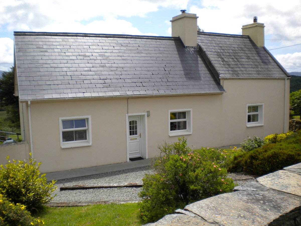 Sweathouse in TeeromoyleSweathouse · 1202 yd
 Field system in Coulagh,teeromoyleField system · 1321 yd
 CaunogeMountain / peak · 1.8 mi
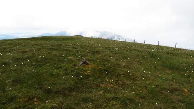 Been HillMountain / peak · 2.1 mi
 Short Castle (Site of)Castle, unclassified · 3.0 mi
 Killinane Church (in ruins)Church · 3.0 mi
 Soft Tree-fernSoft Tree-fern · 3.2 mi
 Chilean wine palmChilean wine palm · 3.2 mi
 Kells BeachBeach / strand · 3.4 mi
 Sheep Dog TrainingHeritage attraction · 3.8 mi
 FeaklecallyHeadland · 4.5 mi