What is recorded here
Gallaun is a 2.6m standing stone on Valentia Island, leaning slightly southeast beside an old field bank and watching the water below. Its smooth tapering sides and uneven top suggest human shaping, yet no legend names the hands that set it there. Perhaps a family marked a boundary, honoured a dead person, or simply claimed the view. The stone still holds that unnamed intention, steady above the channel while the land around it changes.
This large standing stone, abutting the S side of a earthen field bank, is situated on a level terrace on SE sloping land on Valentia Island and overlooks Portmagee Channel to S. It is of trapezoidal plan at base and has maximum dimensions of 1.2m x .28m; NE-SW. Of regular elevation, the sides taper smoothly in width to an uneven top. The stone stands 2.6m high and inclines slightly to SE. Several packing stones are visible at its SE side.
The above description is derived from A. O'Sullivan and J. Sheehan (compilers), 'The Iveragh peninsula: an archaeological survey of South Kerry'. Cork University Press (1996), no. 216. In certain instances the entries have been revised and updated in the light of recent research.
Date of upload: 28 July 2013
Likely dating to the Neolithic or Bronze Age, this standing stone may have functioned as a territorial marker or ceremonial monument. Its position overlooking the Portmagee Channel suggests a possible connection to navigation, trade, or ritual practices linked to the sea.
The monument record does not grant public access. Check the route and ask the landowner before entering private land.
- What survives
- Recorded monument
Places near here
 Shrine in Cool EastShrine · 579 yd
 ValentiaIsland · 622 yd
 Church in Feaghmaan WestChurch · 808 yd
 GeokaunMountain / peak · 1510 yd
 Fogher CliffCliff · 1571 yd
 Church in Tinnies Lower EastChurch · 1755 yd
 The GrottoCave · 1.0 mi
 Hut site in Cool EastHut site · 1.2 mi
 Skellig Experience CentreMuseum · 1.6 mi
 Chilean myrtleChilean myrtle · 1.7 mi
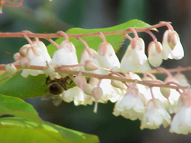 Lily-of-the-valley treeLily-of-the-valley tree · 1.7 mi
 Culloo RockViewpoint · 1.7 mi