What is recorded here
The 'Gallaun' marked on the OS maps at this location is no longer in situ. It was sited in rough land W of Lough Currane.
The above description is derived from A. O'Sullivan and J. Sheehan (compilers), 'The Iveragh peninsula: an archaeological survey of South Kerry'. Cork University Press (1996), no. 251. In certain instances the entries have been revised and updated in the light of recent research.
Date of upload: 28 July 2013
The monument record does not grant public access. Check the route and ask the landowner before entering private land.
- What survives
- Recorded monument
Places near here
 Indicated (1846).Fairy fort / earthen ringfort · 448 yd
 Iveragh Lodgehunting/fishing lodge · 1002 yd
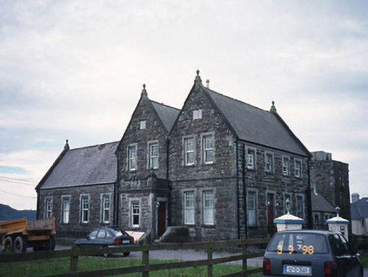 The Cable Stationcoastguard station · 1184 yd
 SheepfoldHut site · 1216 yd
 Butler MemorialMemorial · 1674 yd
 T. C. Millerick MemorialMemorial · 1.1 mi
 Waterville PromenadeWalking route · 1.2 mi
 Inny StrandBeach / strand · 1.3 mi
 CastleCastle, tower house · 1.8 mi
 Reenrow BeachBeach / strand · 2.1 mi
 Emlagh LoopWalking route · 2.2 mi
 Bá na ScealgBay · 2.8 mi