What is recorded here
This standing stone is partly incorporated into a wall which forms the boundary of a vegetable garden. Knockbrack rises steeply to S. The large stone is rectangular in elevation and stands 2.1m high. It measures 1m by at least 1.2m at base, and inclines heavily towards N; E-W.
The above description is derived from A. O'Sullivan and J. Sheehan (compilers), 'The Iveragh peninsula: an archaeological survey of South Kerry'. Cork University Press (1996), no. 206. In certain instances the entries have been revised and updated in the light of recent research.
Date of upload: 28 July 2013
This standing stone likely dates to the late prehistoric period, possibly the Bronze Age, and may have functioned as a boundary marker or had ritual significance. Its incorporation into a garden wall suggests later reuse, though original purpose or folklore remains unrecorded.
The monument record does not grant public access. Check the route and ask the landowner before entering private land.
- What survives
- Recorded monument
Places near here
 ListoorleaFairy fort / earthen ringfort · 494 yd
 LisbegFairy fort / earthen ringfort · 628 yd
 KnockbrackMountain / peak · 2.3 mi
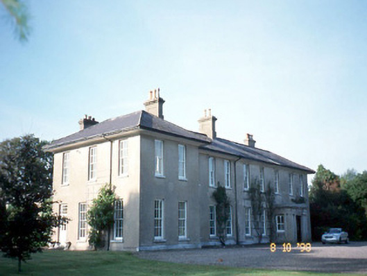 The Reekscountry house · 2.4 mi
 Killoughane Church (in Ruins)Church · 2.4 mi
 Ballymalis Castle (in ruins)Castle, tower house · 2.7 mi
 Ballymalis CastleCastle · 2.7 mi
 KnockroeMountain / peak · 2.9 mi
 King Puck statueMemorial · 3.2 mi
 Cloon IslandIsland · 3.8 mi
 Devil's Ladder RouteWalking route · 4.0 mi
 Clash IslandIslet · 4.0 mi