What is recorded here
No visible chamber or chamber-like feature is present at Gallaun. What is recorded is a standing stone: a separate upright marker on the lower southwest slopes of Knockgour, facing west and north. The absence of a chamber does not diminish the site; it redirects attention to the stone itself, the act of raising it, and the landscape it still commands.
On lower SW slopes of Knockgour with commanding views to W and N. Subrectangular stone aligned NE-SW (H 1.62m; 1.15m x 0.7m).
The above description is derived from the published 'Archaeological Inventory of County Cork. Volume 1: West Cork' (Dublin: Stationery Office, 1992). In certain instances the entries have been revised and updated in the light of recent research.
Date of upload/revision: 14 January 2009
The monument record does not grant public access. Check the route and ask the landowner before entering private land.
- What survives
- Recorded monument
Places near here
 Engine HoMine engine house · 1079 yd
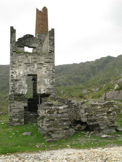 Coom Mine Engine Houseengine house · 1225 yd
 Mining structure in CaminchesMining structure · 1237 yd
 ToberbanahaHoly well · 1372 yd
 Allihies Copper Mine MuseumMuseum · 1708 yd
 KnockgourMountain / peak · 1717 yd
 Ballydonegan StrandBeach / strand · 1.5 mi
 DooneenViewpoint · 1.7 mi
 Black RocksIslet · 2.0 mi
 KnocknagallaunMountain / peak · 2.0 mi
 GourViewpoint · 2.0 mi
 Blue IslandsIslet · 2.0 mi