What is recorded here
Gallaun is a lost standing stone in County Cork, Ireland. Heavy afforestation has swallowed the site, hiding the eight-foot stone that once stood near the western edge of the woodland. The forest has grown so thick that the ancient marker has vanished from human sight, leaving behind only a green mystery where a stone should be.
Site not located due to heavy afforestation. Myler (1998, 78) records that 'this stone stands near the western edge of the woodland south of the road. It has a NE-SW axis and measures 8 ft. high, 4 ft. wide and 1.5 ft. in thickness'.
The above description is derived from the published 'Archaeological Inventory of County Cork. Volume 1: West Cork' (Dublin: Stationery Office, 1992). In certain instances the entries have been revised and updated in the light of recent research.
Date of upload/revision: 29 January 2013
Likely dating to the Late Neolithic or Bronze Age, this standing stone may have functioned as a territorial marker or ceremonial monument. Local folklore sometimes associates such stones with legendary figures or supernatural events, though specific traditions for Gallaun–Goulacullin are not recorded.
The monument record does not grant public access. Check the route and ask the landowner before entering private land.
- What survives
- Recorded monument
Places near here
 Hut site in GoulacullinHut site · 423 yd
 Nowen HillMountain / peak · 1250 yd
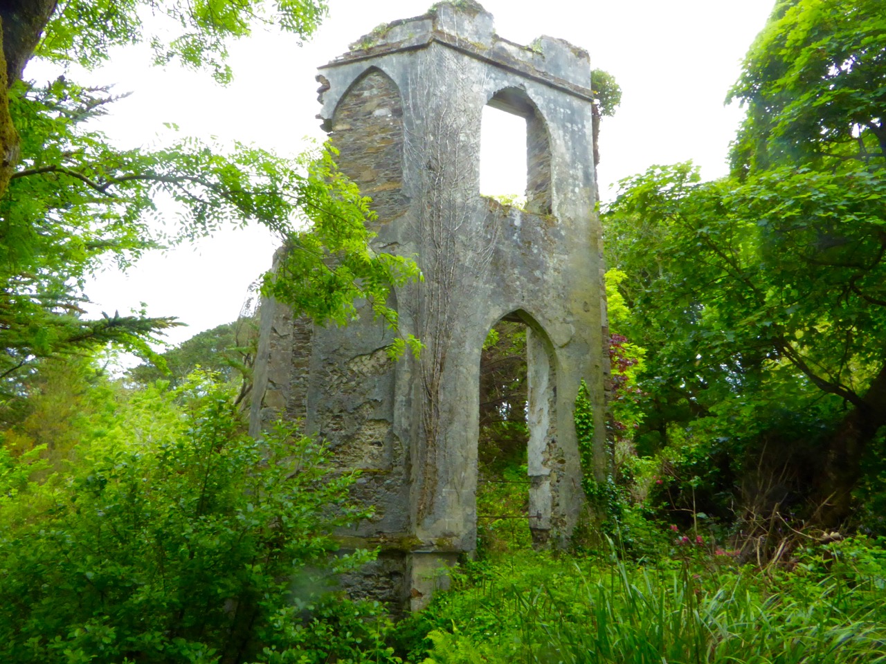 Enclosure in Cullenagh (carbery E. (w.d.) By.)Enclosure · 1712 yd
 Nowen Hill SW TopMountain / peak · 1.2 mi
 Quarry in GlanycarneyQuarry · 2.4 mi
 Coolkellure Housecountry house · 2.7 mi
 Castle Donovan (in Ruins)Castle, tower house · 3.0 mi
 Castle DonovanCastle · 3.0 mi
 St Finbarr's Pilgrim RouteWalking route · 3.3 mi
 Delish Cascade WalkWalking route · 3.5 mi
 Gortnahoughtee Mass RockNamed rock · 6.3 mi
 Francis O'Neill PlaqueMemorial · 6.3 mi