What is recorded here
Gallaun is a wedge tomb on open Cork moorland, its narrow gallery still holding three north stones, two south stones and an east backstone beneath a broken roof. The chamber slopes downward from west to east, inviting the body of a forgotten person into darkness while the wide valley watches above.
On wide expanse of open moorland on N-facing slope of valley of tributary of Sruhaunphadeen Stream. Comprises partly buried gallery (L 2m; Wth 1.1m at W end, 1m at E end) aligned ESE-WNW, represented by three sidestones to N, two to S and inset backstone at E end. Inclined stone at W end may be septal stone. Single outer-wall stone exposed at E end of N side. Gallery decreases in height from W to E; covered by roofstone, broken in two pieces. Incorporated in low mound (diam. 7m). (de Valera and O Nualláin 1982, 20, Co. 27)
The above description is derived from the published 'Archaeological Inventory of County Cork. Volume 3: Mid Cork' (Dublin: Stationery Office, 1997). In certain instances the entries have been revised and updated in the light of recent research.
Date of upload/revision: 14 January 2009
See linked document with details from Ruaidhrí de Valera and Seán Ó Nualláin, Survey of the Megalithic Tombs of Ireland. Volume IV. Counties Cork, Kerry, Limerick, Tipperary. (Dublin: Stationery Office, 1982)
Portal dolmen; dates to the Neolithic or early Bronze Age. Its partial preservation offers insight into megalithic construction techniques and funerary practices in the region.
The monument record does not grant public access. Check the route and ask the landowner before entering private land.
- What survives
- Recorded monument
Places near here
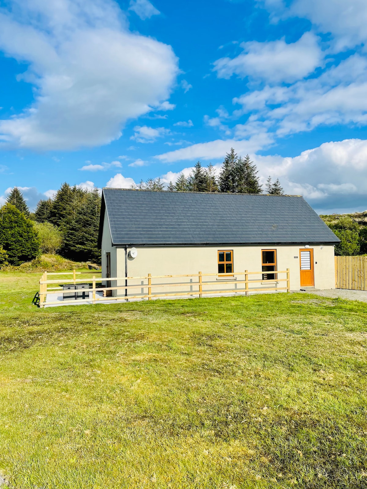 Hut site in Doire Mhic CoirnínHut site · 57 yd
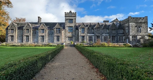 Enclosure in Dooneens (muskerry West By., Inchigeelagh Par.)Enclosure · 637 yd
 Doughill MountainMountain / peak · 1.7 mi
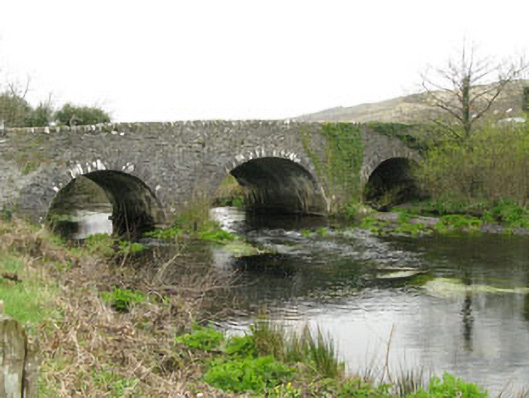 Inchinossig Bridgebridge · 1.7 mi
 Stepping StonesClapper bridge · 1.7 mi
 Douce MountainMountain / peak · 1.8 mi
 Gougane BarraValley and heritage place · 3.0 mi
 European ashEuropean ash · 3.2 mi
 Gortnahoughtee Mass RockNamed rock · 4.0 mi
 Togher CastleCastle, tower house · 5.5 mi
 St Finbarr's Pilgrim RouteWalking route · 5.6 mi
 Sli Gaeltacht MuscraiWalking route · 5.8 mi