What is recorded here
Gallaun is a tall standing stone in County Kerry, trapped inside a much younger fort named for Cromwell. The prehistoric upright predates the military earthwork by millennia, creating a bizarre layered collision where ancient belief becomes the accidental anchor for later conquest. A leaning slab now braces its base after Chatterton recorded the stone shaking easily in 1839, proving that even timeless monuments need human adjustment to survive the passage of time.
On bog-covered NW side of valley of Owvane river. Subrectangular stone (H 1.3m; 0.7m x 0.6m), long-axis NNW-SSE. Four-poster (CO092-00803-) 23m to NW. (Ó Nualláin 1984b, 69, no. 2)
The above description is derived from the published 'Archaeological Inventory of County Cork. Volume 1: West Cork' (Dublin: Stationery Office, 1992). In certain instances the entries have been revised and updated in the light of recent research.
Date of upload/revision: 14 January 2009
The monument record does not grant public access. Check the route and ask the landowner before entering private land.
- What survives
- Recorded monument
Places near here
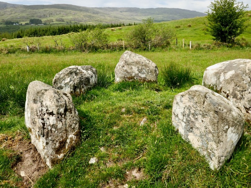 Stone CircleRadial-stone enclosure · 230 yd
 Burial ground in Cappaboy BegBurial ground · 649 yd
 Douce MountainMountain / peak · 1.8 mi
 Doughill MountainMountain / peak · 2.1 mi
 St Finbarr's Pilgrim RouteWalking route · 2.4 mi
 MillMill, fulling · 2.8 mi
 Carding MillMill, carding · 2.9 mi
 Gougane BarraValley and heritage place · 3.5 mi
 European ashEuropean ash · 3.6 mi
 Carriganass CastleCastle · 3.7 mi
 Kealkill stone circleVisitor information · 3.9 mi
 CaoinkeenCliff · 5.7 mi