What is recorded here
In rough grazing, slightly below the crest of a ridge on a gradual S-facing slope. A sandstone upright stone (H 1.3m; 0.4m x 0.23m), leaning slightly to the E. According to Macalister (1907, 160; 1945, 130, no. 134), the inscription is worn but at least partially legible and reads ASsiCONa (lower case letters uncertain). (Power et al. 1997, no. 7966)
Compiled by: Nora White
Date of upload: 29 September 2017
The monument record does not grant public access. Check the route and ask the landowner before entering private land.
- What survives
- Recorded monument
Places near here
 Stepping StonesClapper bridge · 1.1 mi
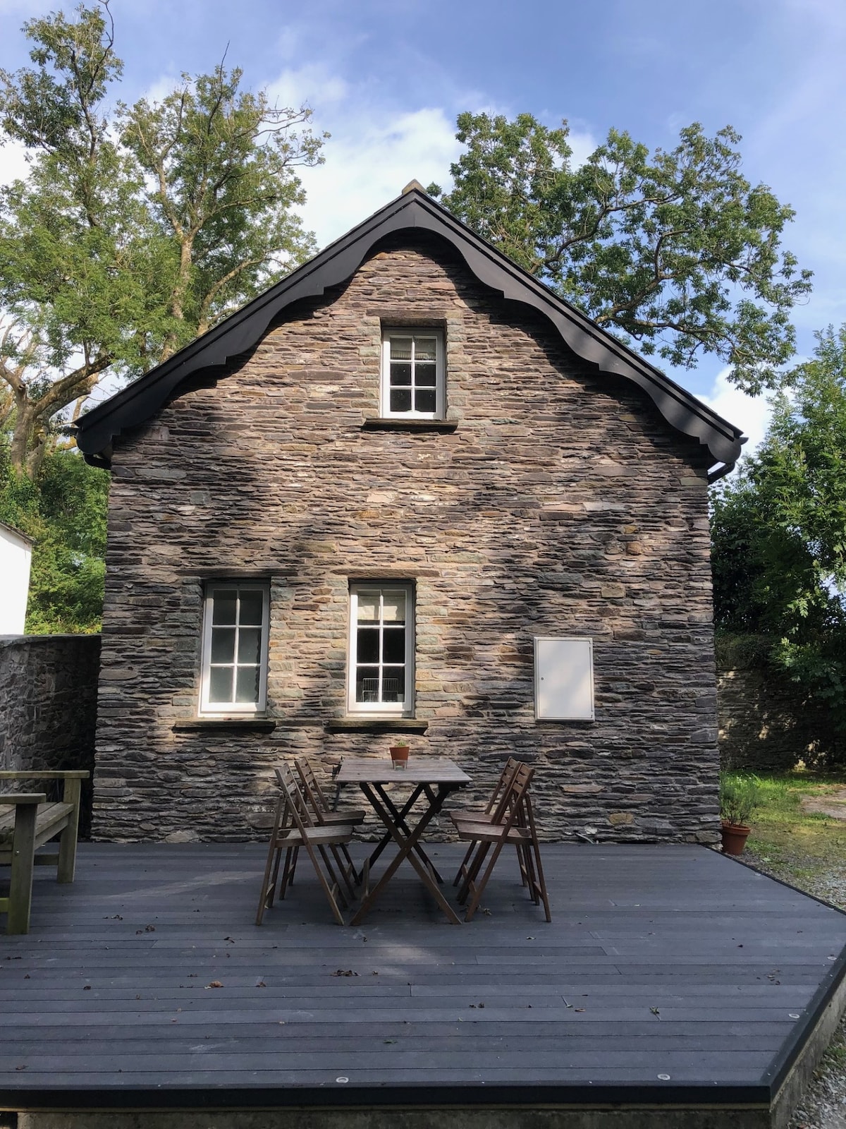 Hut site in Doire Mhic CoirnínHut site · 1.1 mi
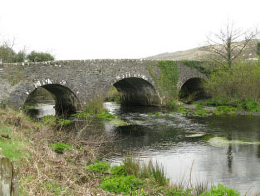 Inchinossig Bridgebridge · 1.1 mi
 Field boundary in Doire Mhic CoirnínField boundary · 1.1 mi
 CarriganineMountain / peak · 1.9 mi
 Doughill MountainMountain / peak · 2.5 mi
 Gougane BarraValley and heritage place · 3.4 mi
 European ashEuropean ash · 3.6 mi
 Gortnahoughtee Mass RockNamed rock · 3.7 mi
 Sli Gaeltacht MuscraiWalking route · 5.2 mi
 Togher CastleCastle, tower house · 5.6 mi
 St Finbarr's Pilgrim RouteWalking route · 6.4 mi