What is recorded here
Half a metre of grey rock rises from the boggy slope of Meelin ridge, its east face sharp and vertical before tapering into the sky while the west leans back gradually. Packing stones still crowd its base, proving the ridge was once crowded with people who needed a marker above the mist. The Ferta valley stretches below like a green ribbon, waiting for someone to point at it and remember why the stone was set there.
This irregularly shaped standing stone is situated on the W facing slope of Meelin ridge, in an area of rough boggy pasture, from which a view to SW along the Ferta river valley is commanded. It stands 1.85m high, and measures 1.49m x .22m at base; E-W. The E side rises almost vertically before tapering towards the top, while its W side tapers gradually from the base, where some packing stones are visible.
The above description is derived from A. O'Sullivan and J. Sheehan (compilers), 'The Iveragh peninsula: an archaeological survey of South Kerry'. Cork University Press (1996), no. 137. In certain instances the entries have been revised and updated in the light of recent research.
Date of upload: 28 July 2013
Likely dating to the Neolithic or Bronze Age, this standing stone may have functioned as a territorial marker or ceremonial monument. No specific folklore or recorded use is associated with the site.
The monument record does not grant public access. Check the route and ask the landowner before entering private land.
- What survives
- Recorded monument
Places near here
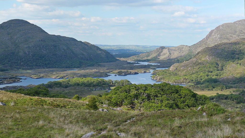 LisnalourFairy fort / earthen ringfort · 481 yd
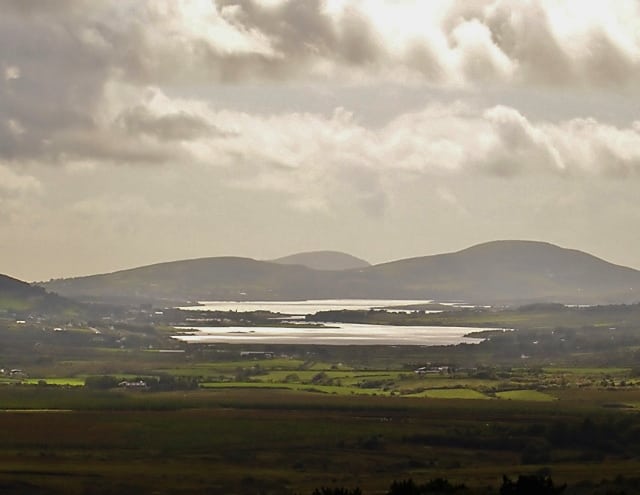 Man-made underground passage in CahernamanMan-made underground passage · 1450 yd
 Kells Mtn East TopMountain / peak · 1.3 mi
 Church in CaherlehillanChurch · 1.4 mi
 Kells MountainMountain / peak · 1.7 mi
 Soft Tree-fernSoft Tree-fern · 1.9 mi
 Chilean wine palmChilean wine palm · 2.0 mi
 Kells BeachBeach / strand · 2.1 mi
 Sheep Dog TrainingHeritage attraction · 2.9 mi
 Gleensk Viaductbridge · 3.0 mi
 Short Castle (Site of)Castle, unclassified · 3.4 mi
 FeaklecallyHeadland · 3.8 mi