What is recorded here
Geataí na Glóire, the Gates of Glory, stands as a broken pair at the northern edge of a forgotten stone complex near Dingle Harbour. One gate has fallen, leaving a single weathered pillar to mark the threshold between the living world and whatever waits beyond. The road builders of 1822 took another gate, proving that even paradise loses pieces to human ambition. What remains is not a complete doorway but a wound in the earth, still leaking mystery into the Kerry sky.
This pair of standing stones is the northernmost element in a complex of megalithic monuments which are grouped at the SE end of the townland of Milltown (formerly Kilbrack), less than 1/2km W of where the Milltown river flows into Dingle Harbour. About 50m to S are 2 large recumbent stones (KE043-214----), one of which bears a variety of rock art motifs on its upper surface. Gallán na Cille Brice (KE043-215----) stands about 30m further to SW, and on the S side of the main road, c. 250m SSW again, is another standing stone (KE053-004----). Macalister (1898b, 164) reports that 'at least one other gallán was destroyed in this district when the present road was made in 1822'.
Up until recently the pair of standing stones stood 1.4m apart in a NE-SW line; the NE stone now lies prostrate. Prior to its collapse, it stood 2.2m high and measured 1.5m x .6m at base (Ó Nualláin 1978b, 67). The SW stone, now .79m high, was 1.5m high in 1898 (Macalister, 161), and appears to have broken across the top. A loose stone, lying beside it and measuring 1m long x .22m high, is probably the missing fragment. Known locally as Geataí na Glóire (the Gates of Glory or Paradise).
The above description is derived from J. Cuppage, ‘Corca Dhuibhne. Dingle Peninsula archaeological survey. Ballyferriter. Oidhreacht Chorca Dhuibhne’ (1986), no. 64. In certain instances the entries have been revised and updated in the light of recent research.
Date of upload: 3 August 2013
This monument is subject to a preservation order made under the National Monuments Acts 1930 to 2014 (PO no. 54/1937).
This pair of standing stones likely dates to the Neolithic or early Bronze Age and may have functioned as part of a ritual or ceremonial landscape associated with nearby megalithic monuments. Local folklore or specific use is not recorded.
This remains an important historical record, but the official description says the monument is no longer visible or has been destroyed. The monument record does not grant public access. Check the route and ask the landowner before entering private land.
- What survives
- No visible remains or recorded as destroyed
Places near here
 Lios na bhFonsaíArchaeological place · 307 yd
 Ecclesiastical site in Baile An Mhuilinn (corca Dhuibhne)Ecclesiastical site · 562 yd
 Dingle Marina Dive CentreHeritage attraction · 1228 yd
 Memorial to all who lost their lives in our seas.Memorial · 1411 yd
 Charles HaugheyMemorial · 1458 yd
 CastleCastle, unclassified · 1623 yd
 Site of Ballingolin CastleArchaeological place · 1632 yd
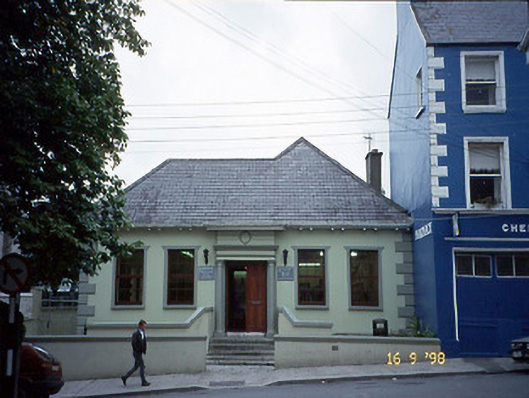 Leabharlann Dhaingean Uí Chúis [Dingle Carnegie Free Library]library/archive · 1724 yd
 Eaglais Naomh Muire [Saint Mary's Catholic Church]church/chapel · 1.0 mi
 Caol Cronin - SeascapesGallery · 1.1 mi
 Cnoc na CeathrúnMountain / peak · 1.8 mi
 10Cliff · 2.2 mi