What is recorded here
Situated atop a N-S ridge overlooking ground to the W with na earby standing stone (TN025-019001) to the NE. A small irregular-shaped conglomerate (H 0.8m; dims. 0.86m x 0.74m) orientated on an E-W axis with packing-stones visible at its base.
The above description is derived from 'The Archaeological Inventory of County Tipperary. Vol. 1 - North Tipperary' compiled by Jean Farrelly and Caimin O'Brien (Dublin: Stationery Office, 2002). In certain instances the entries have been revised and updated in the light of recent research.
Date of upload/revision: 22 September 2008
Likely dating to the Neolithic or Bronze Age, this standing stone may have had ritual or territorial significance. The name "Gallán" suggests a possible early Christian association, though its original prehistoric meaning or use remains unclear.
The monument record does not grant public access. Check the route and ask the landowner before entering private land.
- What survives
- Recorded monument
Places near here
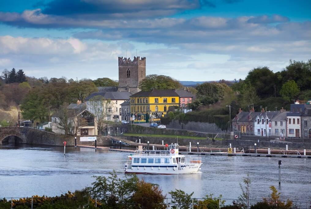 Cloghaneena (in ruins)Castle, hall-house · 370 yd
 Ladys Well (Site of)Holy well · 446 yd
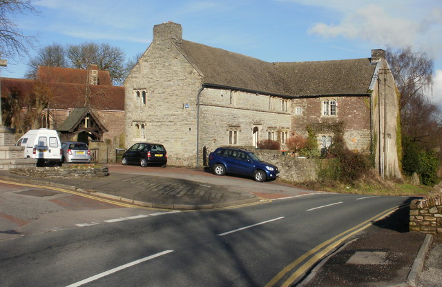 Church (in ruins); Friars IslandChurch · 519 yd
 Stone Cross (Site of)Cross · 641 yd
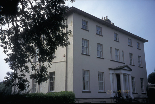 Clarisford Palacebishop's palace · 830 yd
 My Next AdventureHeritage attraction · 870 yd
 Brian Boru Heritage CentreVisitor information · 1068 yd
 Ballina Castle (in ruins)Castle, tower house · 1102 yd
 Brian Boru FortHeritage attraction · 1.5 mi
 The Pollagh TrailNature reserve · 2.2 mi
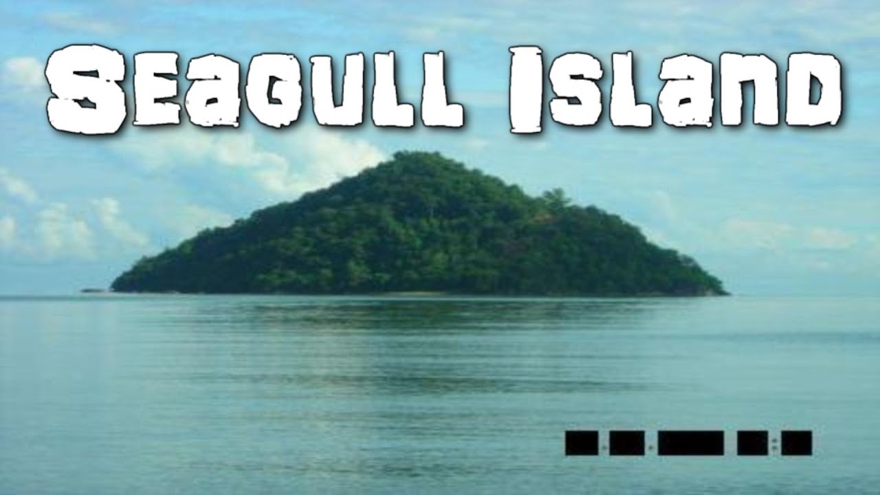 Seagull IslandIslet · 2.2 mi
 Rinnaman PointHeadland · 2.9 mi