What is recorded here
Laght Wood hides Gallán and two companion stones, buried under forestry and absent from older maps. Bowman counted six standing stones within three hundred and fifty yards in 1934, suggesting a dense ritual cluster rather than a lonely marker. The wood may have swallowed what open fields once displayed, forcing human awareness to retreat into legend and moss.
Not marked on 1842 and 1904 OS 6-inch maps. In forestry. One of three stones (10089, 10090) marked on 1936 OS 6-inch map in Laght Wood. Stone (H 1.6m; 1.1m x 0.45m) is rectangular in plan, long axis NE-SW. Probably one of six standing stones (10088, 10089, 10090, 10092, 10093) recorded by Bowman (1934, 359) in this townland, all situated within a diameter of 'about 350 yards'.
The above description is derived from the published 'Archaeological Inventory of County Cork. Volume 4: North Cork' (Dublin: Stationery Office, 2000). In certain instances the entries have been revised and updated in the light of recent research.
Date of upload/revision: 14 January 2009
The monument record does not grant public access. Check the route and ask the landowner before entering private land.
- What survives
- Recorded monument
Places near here
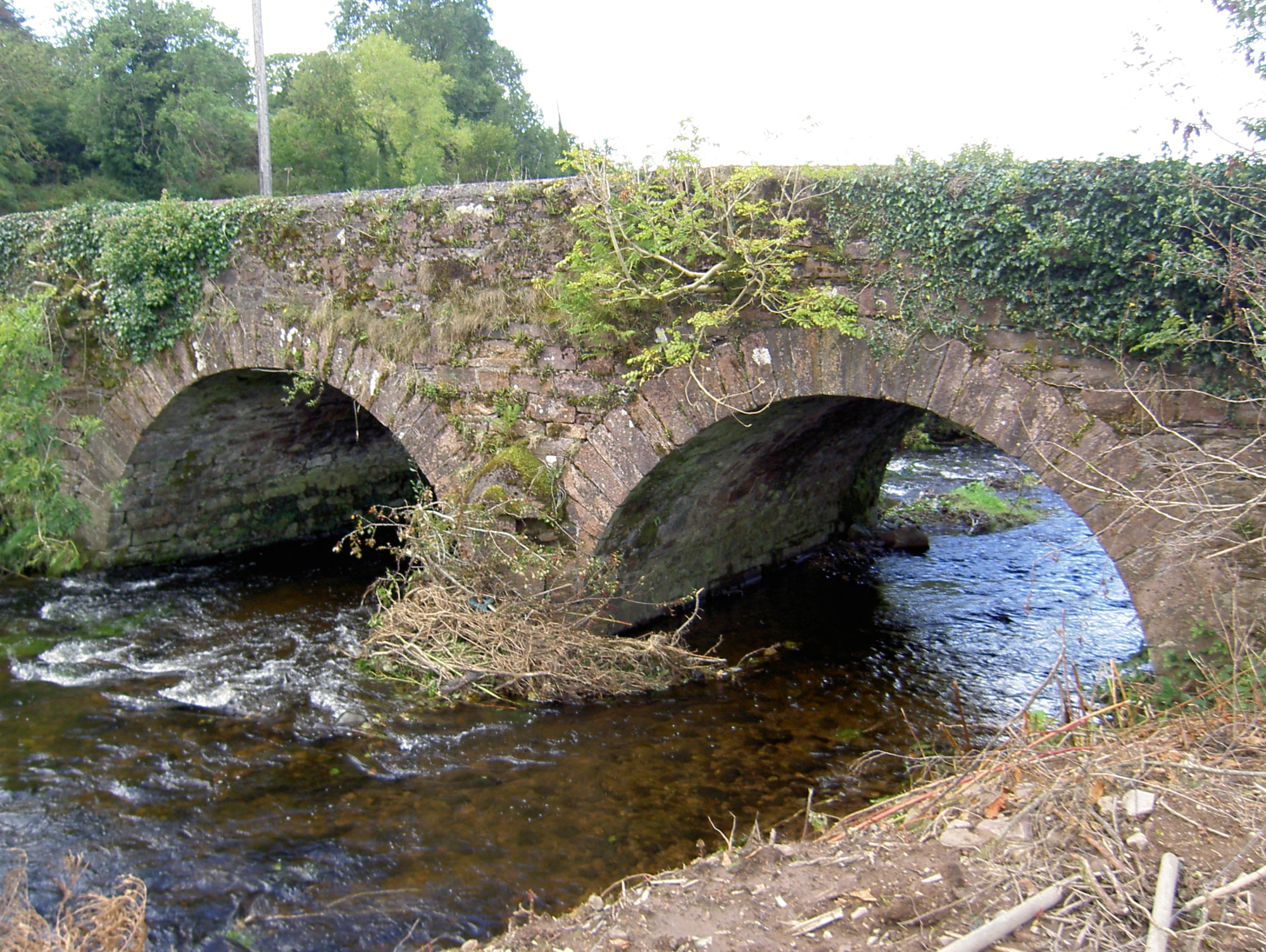 Lyon's Bridgebridge · 1279 yd
 Burial ground in Killowen (muskerry West By.)Burial ground · 1437 yd
 IndicatedKiln, lime · 1572 yd
 Rathcool WoodWood · 1676 yd
 Ecclesiastical enclosure in KilcorneyEcclesiastical enclosure · 1.0 mi
 Castle and TurretCastle, tower house · 2.1 mi
 Battle of Knocknaclashybattle · 2.6 mi
 Dromsicane Castle (in Ruins)Bawn · 2.8 mi
 Millstreet Tourist InformationVisitor information · 3.2 mi
 St. Patrick's ChurchVisitor information · 3.2 mi
 Millstreet Museum & Tourist Information CentreMuseum · 3.3 mi
 Blackwater (Duhallow) WayWalking route · 3.3 mi