What is recorded here
In pasture, on E-facing slope overlooking Owenbaun River valley. Stone (H1.35m; 0.6m x 0.6m) is square in plan, leaning to E.
The above description is derived from the published 'Archaeological Inventory of County Cork. Volume 3: Mid Cork' (Dublin: Stationery Office, 1997). In certain instances the entries have been revised and updated in the light of recent research.
Date of upload/revision: 14 January 2009
Likely dating to the Early Christian period, the name "Gallán" may refer to a saint or holy well associated with the site. Such stones often marked sacred or ritual locations linked to local folklore or early monastic activity.
The monument record does not grant public access. Check the route and ask the landowner before entering private land.
- What survives
- Recorded monument
Places near here
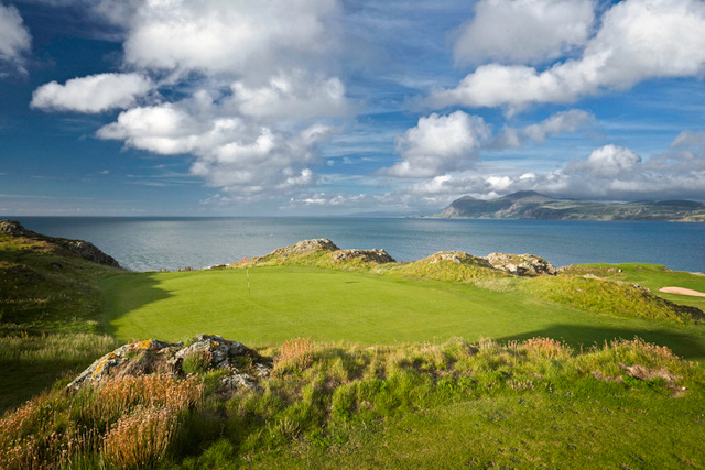 Fulacht fia in GlenleighFulacht fia · 666 yd
 KilnKiln, lime · 683 yd
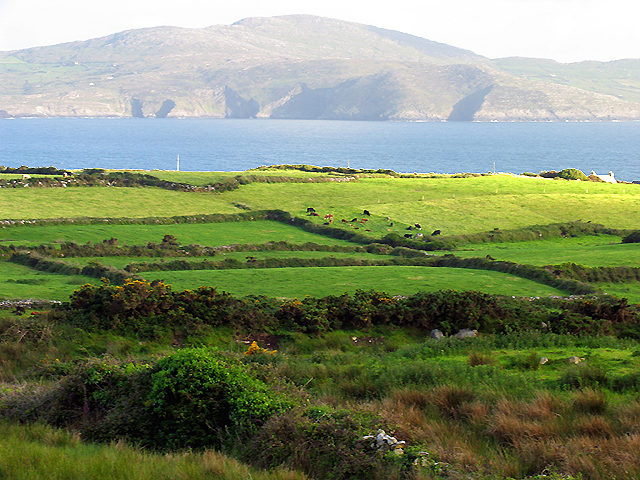 IndicatedKiln, lime · 1058 yd
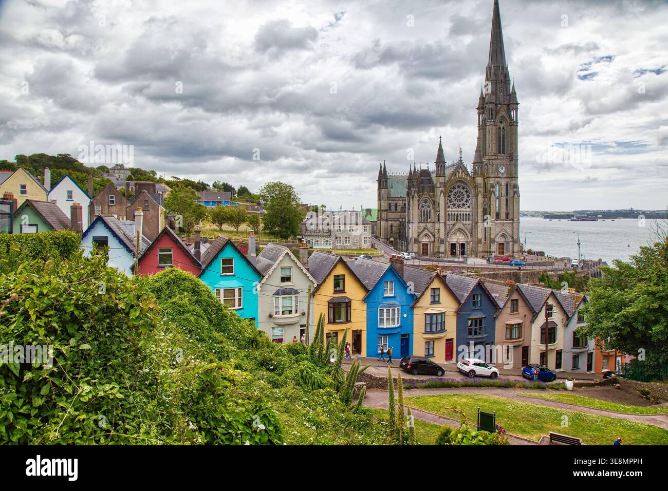 LissaniskaFairy fort / earthen ringfort · 1223 yd
 Rathcool WoodWood · 1.3 mi
 Castle and TurretCastle, tower house · 2.5 mi
 Blackwater (Duhallow) WayWalking route · 2.6 mi
 Battle of Knocknaclashybattle · 2.9 mi
 Dromsicane Castle (in Ruins)Bawn · 3.3 mi
 Millstreet Tourist InformationVisitor information · 3.4 mi
 St. Patrick's ChurchVisitor information · 3.4 mi
 Millstreet Museum & Tourist Information CentreMuseum · 3.4 mi