What is recorded here
Gallan stood five feet tall in an open Cork field until water took it in 1956. The Lee Valley scheme did not ask permission, but the stone had already given up its shape, age and purpose to memory. What remains is a drowned marker, visible only when the river lowers or imagination leans forward.
Flooded during Lee Valley Hydro-Electric scheme in 1956. Fahy (1957a, 75) reported that stone stood in level field 'a few hundred yards south of the River Lee'. It was '5ft 1in high, bluntly oval in plan, over 3ft wide and 2ft 6ins thick'. Long axis almost N-S (ibid.).
The above description is derived from the published 'Archaeological Inventory of County Cork. Volume 3: Mid Cork' (Dublin: Stationery Office, 1997). In certain instances the entries have been revised and updated in the light of recent research.
Date of upload/revision: 14 January 2009
Likely dating to the Neolithic or Bronze Age, the Gallán standing stone may have had ritual or territorial significance. Local folklore sometimes associates such stones with early Christian saints or mythical figures, though no specific tradition is recorded for this site.
The monument record does not grant public access. Check the route and ask the landowner before entering private land.
- What survives
- Recorded monument
Places near here
 Buingea BrBridge · 607 yd
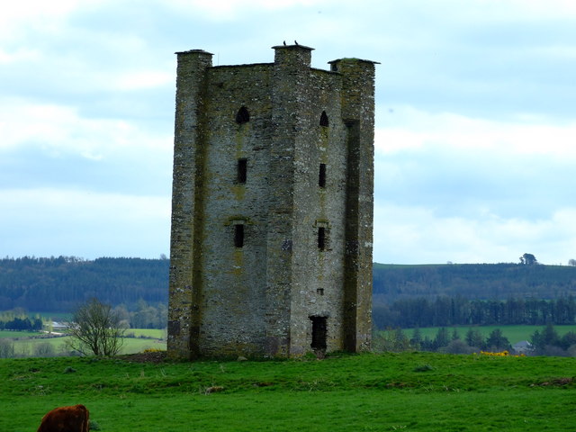 Beamish's Towerfolly · 1162 yd
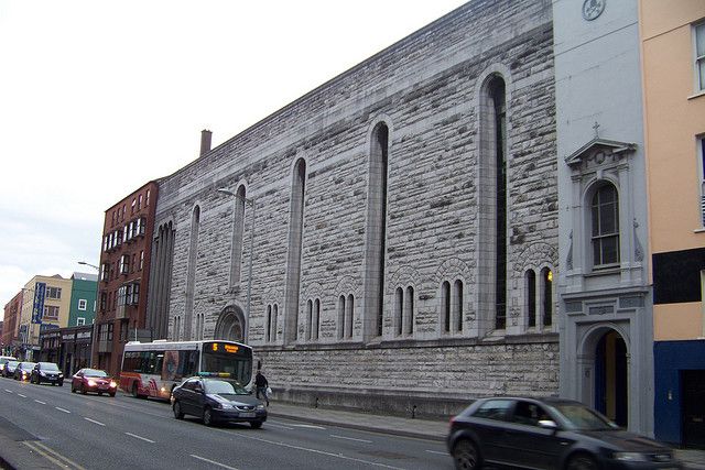 Dunisky Church (Site of)Church · 1208 yd
 Castle (Site of)Castle, unclassified · 1582 yd
 Mashanaglass Castle (in Ruins)Castle, tower house · 1.1 mi
 Stephen's WoodForest · 1.1 mi
 Fulachta FianFulacht fia · 1.3 mi
 Andrew's WoodWood · 1.5 mi
 Priest MemorialMemorial · 1.9 mi
 Kilmurry WoodsPicnic place · 2.1 mi
 Independence MuseumMuseum · 2.3 mi
 Battle of Macroombattle · 3.0 mi