What is recorded here
Gallán stood alone on a south-facing slope in County Cork, marked clearly on maps from 1842 to 1943 before disappearing without a trace. It may have guided herds, witnessed rituals, or simply resisted the plough, but human hands eventually took it. The pasture remains empty, preserving the exact shape of its absence.
Shown on 1842, 1904 and 1943 OS 6-inch maps as single standing stone. In pasture, on S-facing slope. Removed; no visible surface trace.
The above description is derived from the published 'Archaeological Inventory of County Cork. Volume 3: Mid Cork' (Dublin: Stationery Office, 1997). In certain instances the entries have been revised and updated in the light of recent research.
Date of upload/revision: 14 January 2009
Likely dating to the Bronze Age, the stone may have had ritual or territorial significance. Local tradition sometimes associates such stones with early Christian figures or folkloric beings, though no specific folklore is recorded for this site.
The monument record does not grant public access. Check the route and ask the landowner before entering private land.
- What survives
- Recorded monument
Places near here
 Athsollis Bridgebridge · 753 yd
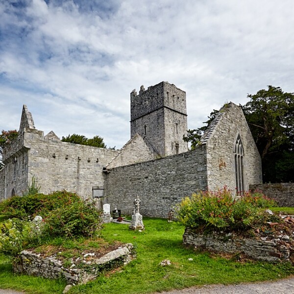 Fulacht FianFulacht fia · 949 yd
 Buingea BrBridge · 1069 yd
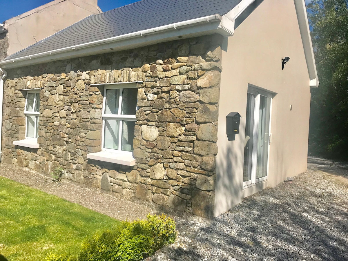 Fulacht fia in CrossmahonFulacht fia · 1094 yd
 Stephen's WoodForest · 1592 yd
 Andrew's WoodWood · 1629 yd
 Priest MemorialMemorial · 1.4 mi
 Castle (Site of)Castle, unclassified · 1.5 mi
 Mashanaglass Castle (in Ruins)Castle, tower house · 1.6 mi
 Kilmurry WoodsPicnic place · 1.6 mi
 Independence MuseumMuseum · 1.7 mi
 Battle of Macroombattle · 3.8 mi