What is recorded here
On ridge on E side of Glashaboy river valley. One stone lies prostrate. Conlon (1916) recorded both stones as then erect and the former presence of a third stone. Erect stone, aligned ENE-WSW, is 1.55m L, 0.55m T and 2.7m H. Prostrate slab stood 1.9m to W. It is 1.25m L, 0.3m T and stood 2.85m H. (Conlon 1916, 59-60; O Nualláin 1988, 244, No. 100)
The above description is derived from the published 'Archaeological Inventory of County Cork. Volume 2: East and South Cork' (Dublin: Stationery Office, 1994). In certain instances the entries have been revised and updated in the light of recent research.
Date of upload/revision: 14 January 2009
Likely dating to the Bronze Age, the standing stone may have served a ritual or territorial function. The name "Gallán" may derive from a early Christian saint, but the site's prehistoric alignment and context suggest an earlier ceremonial use.
The monument record does not grant public access. Check the route and ask the landowner before entering private land.
- What survives
- Recorded monument
Places near here
 IndicatedEnclosure · 971 yd
 Castle (in Ruins)Castle, tower house · 1080 yd
 Carrignavar Bridgebridge · 1254 yd
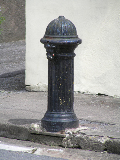 water pumpwater pump · 1322 yd
 Grave YardGraveyard · 1537 yd
 Castle (Site of)Castle, unclassified · 2.3 mi
 Old Cemetery KilcullyMemorial · 2.7 mi
 Murphy's RockViewpoint · 3.3 mi
 Delaney Brothers MonumentMemorial · 3.8 mi
 Dublin HillViewpoint · 4.1 mi
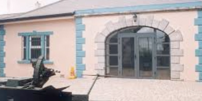 Collins Barracks Military MuseumMuseum · 4.9 mi
 Church in CarrignavarChurch · 1416 yd