What is recorded here
Gallán is a subrectangular standing stone in level Cork pasture, rising 1.85m with packing stones exposed at its base. It aligns ENE-WSW and resisted the 1842 survey, staying hidden from official lines while local people likely passed it without marking it. The stone may have guided herds, marked a boundary or waited for someone whose name never reached a register.
Not shown on 1842 OS 6-inch map. In level pasture. Stone (H 1.85m; 1.65m x 0.55m) is subrectangular in plan, with packing stones exposed at base; long axis ENE-WSW.
The above description is derived from the published 'Archaeological Inventory of County Cork. Volume 3: Mid Cork' (Dublin: Stationery Office, 1997). In certain instances the entries have been revised and updated in the light of recent research.
Date of upload/revision: 14 January 2009
Likely dating to the Bronze Age, the stone may have functioned as a boundary marker or ritual monument. No specific folklore or detailed use is recorded for this site.
The monument record does not grant public access. Check the route and ask the landowner before entering private land.
- What survives
- Recorded monument
Places near here
 IndicatedKiln, lime · 407 yd
 Grave YdGraveyard · 549 yd
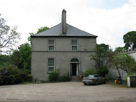 Clondrohid Lodgerectory/glebe/vicarage/curate's house · 669 yd
 Man-made underground passage (Site of)Man-made underground passage · 1498 yd
 Neill's WoodWood · 1.3 mi
 Carrigaphooca CastleCastle · 1.7 mi
 Curraheen WoodWood · 1.9 mi
 Macroom WalksVisitor information · 2.4 mi
 Dundareirke Castle (in Ruins)Castle, tower house · 2.5 mi
 Battle of Macroombattle · 2.7 mi
 Clonavrick CliffCliff · 2.9 mi
 BurrenMountain / peak · 4.7 mi