What is recorded here
Six stones stood scattered through Laght Wood before afforestation buried them under pines and shadow. Bowman measured their edges in 1934, capturing heights and widths that still define their invisible presence. They vanished from public view not through destruction but through growth, becoming a hidden chamber where memory and forest compete for ownership.
Not marked on 1842 and 1904 OS 6-inch maps. One of two stones (10090) marked on 1936 OS 6-inch map standing c. 35m apart in Laght Wood. Third stone (10091) marked c. 70m to S. Inaccessible due to heavy afforestation. Probably one of six standing stones (10088, 10090, 10091, 10092, 10093) recorded by Bowman (1934, 359) in this townland, all situated within a diameter of 'about 350yards...A. 6ft 1in by 2ft 4in by 1ft 2in standing; B. 5ft 10in by 2ft 5in by 1ft 4in recumbent; C. About 11/2 feet over ground; D. 6ft 6in by 2ft 10in by 1ft 5in standing; F. 2ft 10in high by 5ft 3in by 9in; G. 2ft 4in high by 5ft 5in by 10in.' Bowman also records standing stone (E.) atop ring barrow (11887).
The above description is derived from the published 'Archaeological Inventory of County Cork. Volume 4: North Cork' (Dublin: Stationery Office, 2000). In certain instances the entries have been revised and updated in the light of recent research.
Date of upload/revision: 14 January 2009
Likely dating to the late prehistoric or early historic period, the stones may have functioned as markers or ritual features within a woodland landscape. Their grouping suggests possible ceremonial or territorial significance, though specific folklore or use remains unrecorded.
The monument record does not grant public access. Check the route and ask the landowner before entering private land.
- What survives
- Recorded monument
Places near here
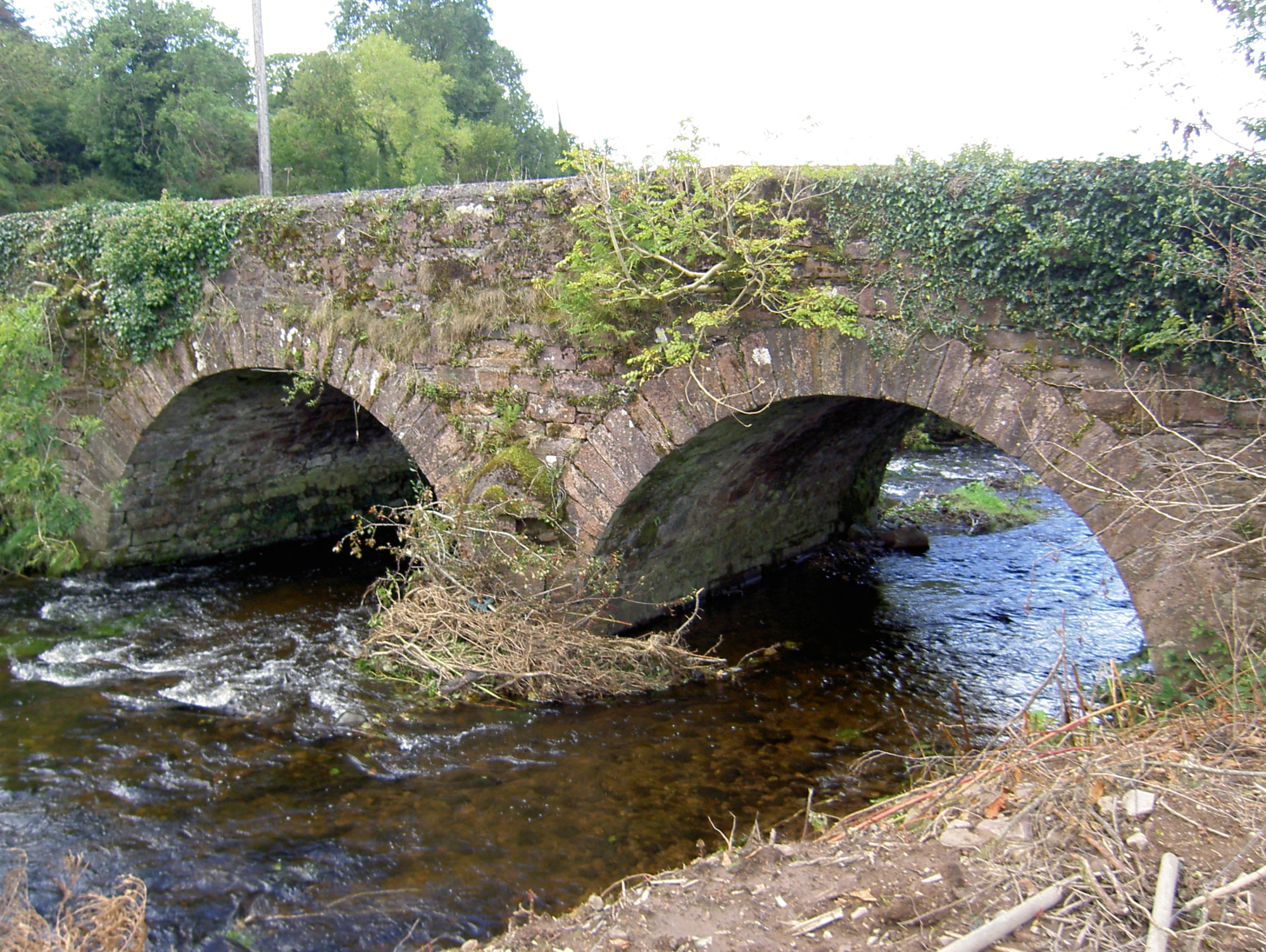 Lyon's Bridgebridge · 1321 yd
 Burial ground in Killowen (muskerry West By.)Burial ground · 1437 yd
 Rathcool WoodWood · 1630 yd
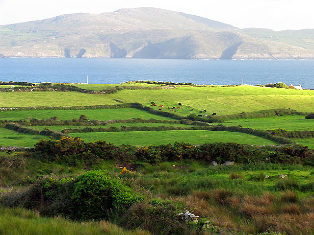 IndicatedKiln, lime · 1680 yd
 Ecclesiastical enclosure in KilcorneyEcclesiastical enclosure · 1.1 mi
 Castle and TurretCastle, tower house · 2.1 mi
 Battle of Knocknaclashybattle · 2.6 mi
 Dromsicane Castle (in Ruins)Bawn · 2.8 mi
 Millstreet Tourist InformationVisitor information · 3.2 mi
 St. Patrick's ChurchVisitor information · 3.2 mi
 Millstreet Museum & Tourist Information CentreMuseum · 3.3 mi
 Blackwater (Duhallow) WayWalking route · 3.4 mi