What is recorded here
Galláin is a pair of standing stones on a reclaimed moorland plateau at the SW end of the Boggeragh Mountains, overlooking the Foherish River valley. The NE stone measures 1m long, 0.7m thick and 1.15m high; the SW stone is 0.65m long, 0.4m thick and 0.9m high. They stand 1.85m apart in a NE-SW line, joined into one 3.05m feature beside a small cairn and scattered stone marks across the plateau.
On reclaimed moorland plateau, at SW end of Boggeragh Mountains overlooking Foherish River valley to W. Stones, aligned NE-SW, stand 1.85m apart; overall length is 3.05m. NE stone is 1m L, 0.7m T and 1.15m H. SW stone is 0.65m L, 0.4m T and 0.9m H. Stones stand 2m NE of cairn (CO059-02307-) and two other cairns (CO059-02304-; CO059-02305-) stand some 30m to SE; five-stone circle (6471) and pair of standing stones (6560) 120m to SW and radial-stone cairn (6491) 150m to SSW.
The above description is derived from the published 'Archaeological Inventory of County Cork. Volume 3: Mid Cork' (Dublin: Stationery Office, 1997). In certain instances the entries have been revised and updated in the light of recent research.
Date of upload/revision: 14 January 2009
The monument record does not grant public access. Check the route and ask the landowner before entering private land.
- What survives
- Recorded monument
Places near here
 Cairn (Remains of)Cairn, unclassified · 11 yd
 CairnCairn, unclassified · 51 yd
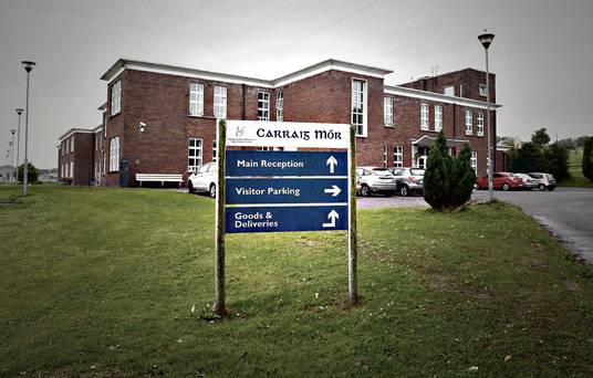 Carraig na Speireoige Chp (in Rns)Church · 300 yd
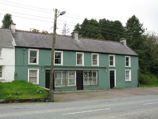 Edmond Walshhouse · 1.2 mi
 Clonavrick CliffCliff · 3.0 mi
 Paddy Mulcahey 2009Memorial · 3.1 mi
 Standing Stone ? At J WellMemorial · 3.3 mi
 MusheramoreMountain / peak · 3.3 mi
 Neill's WoodWood · 3.3 mi
 Cnoc na nUlán (mullach thoir)Mountain / peak · 4.0 mi
 Carrigaphooca CastleCastle · 4.3 mi
 Blackwater (Duhallow) WayWalking route · 4.6 mi