What is recorded here
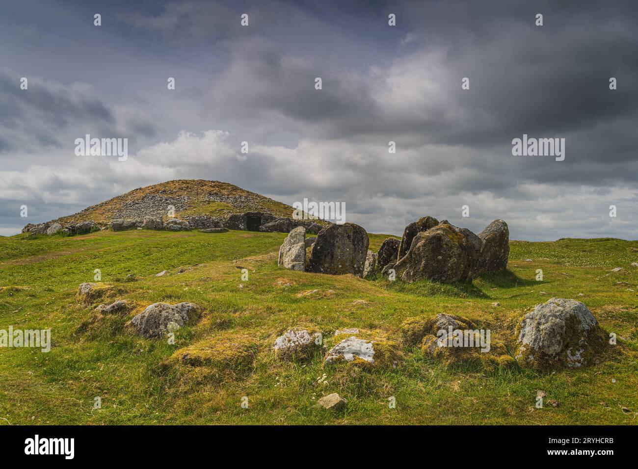
Galláin is a pair of standing stones on a bog-covered hillside near the headwaters of the Glashagarriff River in County Cork. The larger stone lies prostrate at 4.3m long while the second stands 2.4m high in a townland boundary fence, aligned ENE-WSW with a boulder-burial beside them. They mark an old line of sight across open land, perhaps guiding people or measuring shadow before roads existed.
On bog-covered hillside near headwaters of Glashagarriff River. NE stone is prostrate; it measures 4.3m by 1.4m and 0.6m T. Second stone stands 1.8m to SW in townland boundary fence; it is 0.8m L, 0.6m T and 2.4m H. Boulder-burial (CO060-196----) stands 1m to SW. Stones appear to have been aligned ENE-WSW. (O Nualláin 1988, 243, no. 92)
The above description is derived from the published 'Archaeological Inventory of County Cork. Volume 3: Mid Cork' (Dublin: Stationery Office, 1997). In certain instances the entries have been revised and updated in the light of recent research.
Date of upload/revision: 14 January 2009
The monument record does not grant public access. Check the route and ask the landowner before entering private land.
- What survives
- Recorded monument
Places near here
 Boulder-burial in CarriganishBoulder-burial · 1 yd
 Man-made underground passageMan-made underground passage · 1.1 mi
 Water millWater mill, horizontal-wheeled · 1.3 mi
 BurrenMountain / peak · 1.4 mi
 IndicatedKiln, lime · 1.8 mi
 Black WoodWood · 2.5 mi
 Mullinhassig WaterfallWaterfall · 3.1 mi
 Mullinhassig WoodWood · 3.2 mi
 Clonavrick CliffCliff · 3.2 mi
 Knockduff Wind FarmVisitor information · 3.4 mi
 Knockcraugh HillMountain / peak · 3.8 mi
 Carrigadrohid Castle InfoVisitor information · 4.6 mi