What is recorded here
On level ground, in poorly drained rough pasture. This is one of three mounds (see KE066-036002-, KE066-036003-) indicated on the 1939 OS 6-inch map and named 'Fulachta Fian'. When inspected in 1999, the area was being developed as a holiday-home complex and there were no visible remains of this fulacht fia. Monitoring of ground disturbance work associated with the housing development did not uncover any remains of it (Dennehy 2003f, 157-8). A burnt spread (KE066-036002-) and a possible fulacht fia (KE066-036003-) are c. 50m and c. 100m to the SE, respectively and there are two fulachtaí fia (KE066-036004-, KE066-036005-) c. 50m and c. 100m to the NW, respectively.
Compiled by: Elizabeth Byrne, Ursula Egan and Sheila Ronan, Archaeological Survey Unit, University College, Cork.
Date of upload: 31 January 2011
The monument record does not grant public access. Check the route and ask the landowner before entering private land.
- What survives
- Recorded monument
Places near here
 Fulachta fianBurnt spread · 53 yd
 Fulacht FianFulacht fia · 220 yd
 RoadRoad, road/trackway · 380 yd
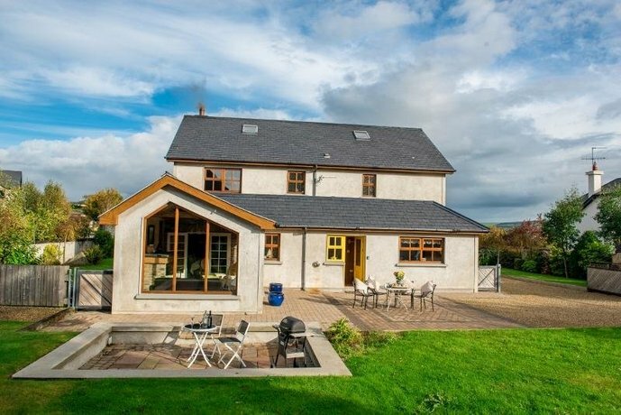 Coolgarriv HouseCountry house · 792 yd
 Famine MemorialMemorial · 1586 yd
 Aghadoe Early Medieval Ecclesiastical SiteHeritage attraction · 1.1 mi
 Parkavonear CastleCastle · 1.1 mi
 Circular WalkWalking route · 1.1 mi
 GinkgoGinkgo · 1.1 mi
 Giant SequoiaGiant Sequoia · 1.2 mi
 Kerry 2nd Brigade of the Irish Republican ArmyMemorial · 1.3 mi
 Jaunting ToursHeritage attraction · 1.6 mi